The Chetco River flows through the heart remote Kalmiopsis Wilderness to the Pacific Ocean. This section of the Chetco River is famous for it's remarkable water quality, fun rapids, and remoteness. Only a handful of hearty souls paddle this river due to the 10 mile hike down to the put-in at Carter Creek.
Featured Outfitter
![]()
![]() Northwest Rafting Company (541) 450-9855 is an award-winning group of professional, well-trained guides that lead people down the most beautiful rivers in the world.
Northwest Rafting Company (541) 450-9855 is an award-winning group of professional, well-trained guides that lead people down the most beautiful rivers in the world.
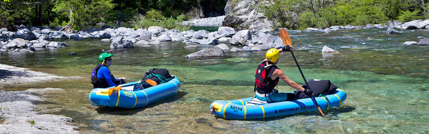
The rapids are mostly Class III and IV. There are a few dangerous rapids with sieves and undercut rocks, so it's important to pay close attention all the way down. Hardshell kayaks will have fun at flows above 1,000 cfs. This is also a great trip for inflatable kayaks which can float down as low as 300 cfs.
Trip Highlights
Mile -9.2: Begin your trip at the Babyfoot Lake Trailhead. This route is open thanks to the hard work of the Siskiyou Mountain Club. If you use it, consider donating to their fine organization.
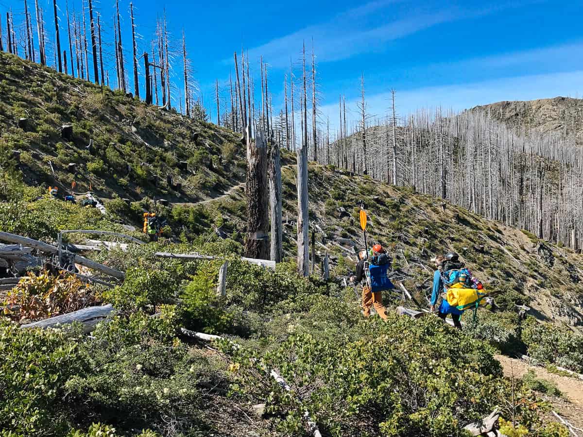
Beginning the hike into the Chetco River at the Babyfoot Lake Trailhead
Mile -7.6: Turn left on to the Kalmiopsis Rim Trail. The next few miles are pretty easy hiking.
Mile -4.3: Veer right uphill towards "The Moonscape," a nice place to take a break after a 200 foot vertical climb.
Hiking through the Moonscape
Mile -2.7: There is a seasonal spring here at the former site of the Bailey Cabin. If you are lucky you can fill up your water bottles before a 200 foot vertical climb to the base of Bailey Mountain.
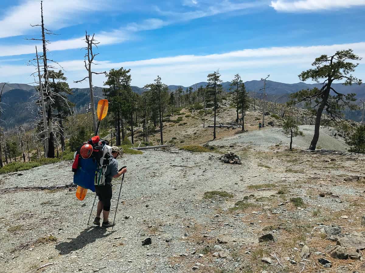
Mile -2.2: From the base of Bailey Mountain (aka Torture Mountain) you have a 2000 foot descent over the next 2.2 miles to the Chetco River. This last section of trail goes through a protected botanical area where you may see the rare Kalmiopsis leachiana.
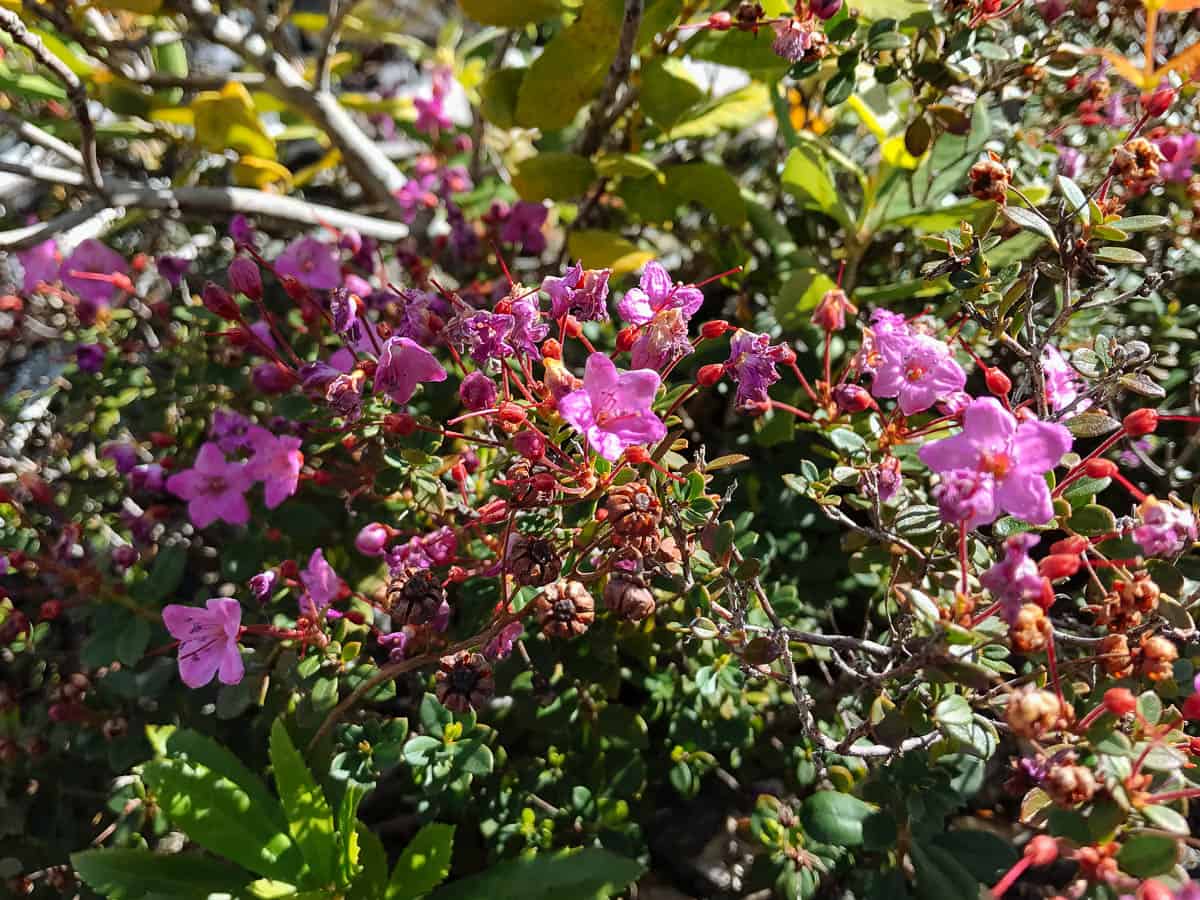
Kalmiopsis Leachiana
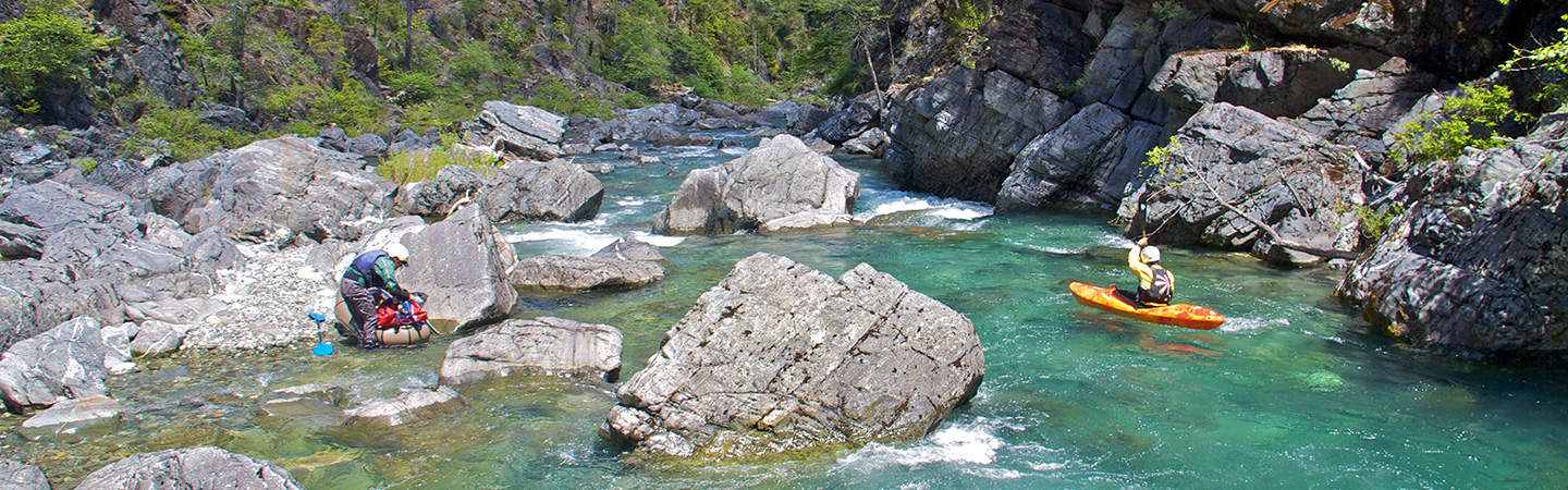
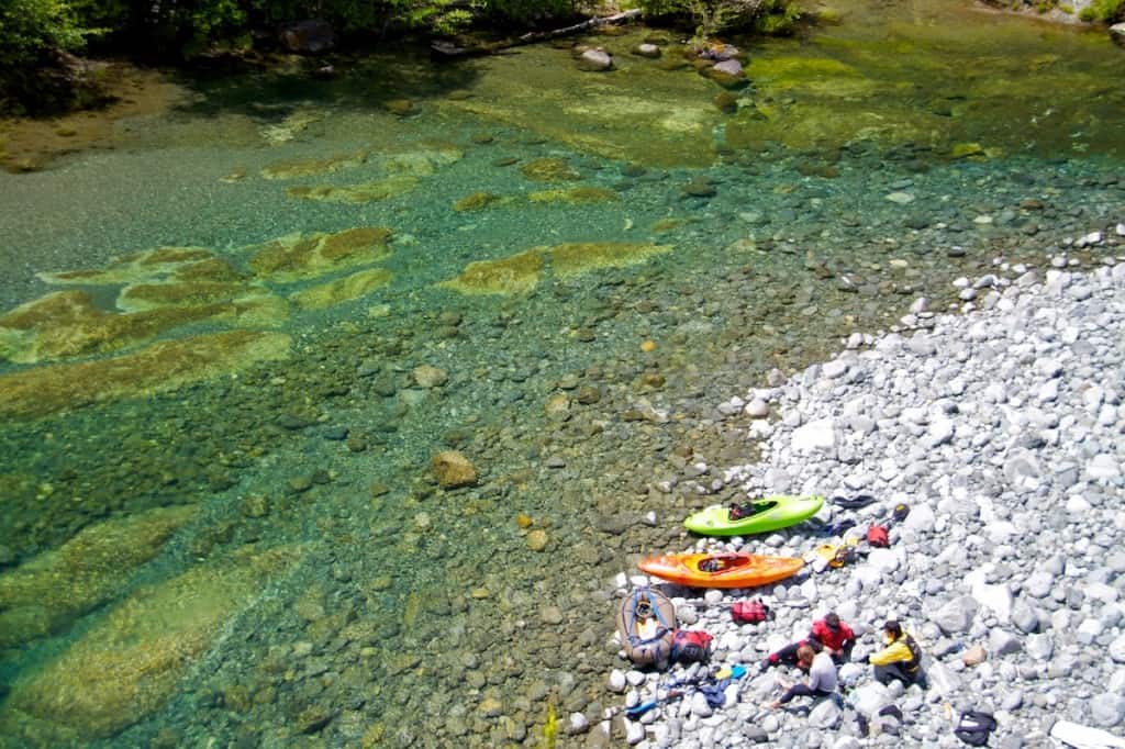
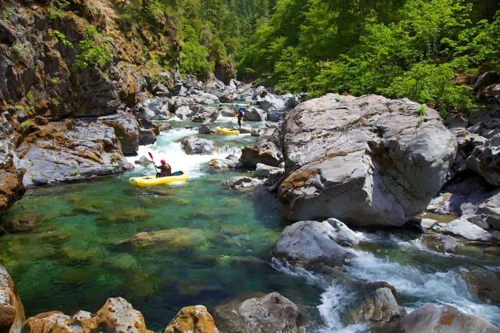
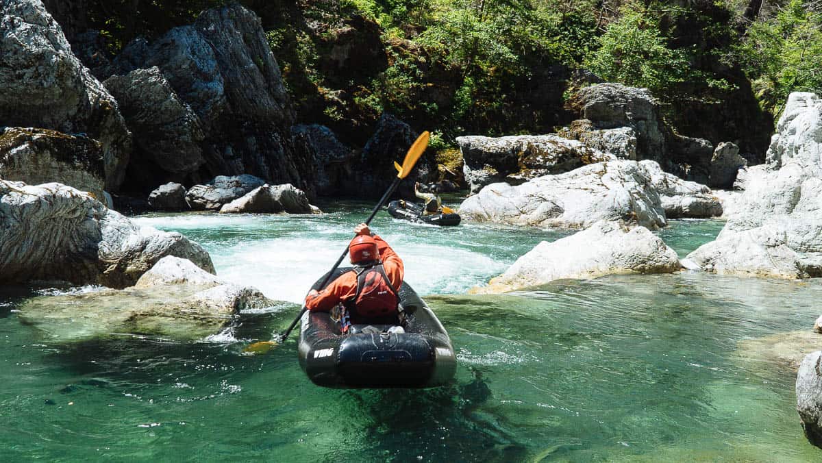
Mile 0: Put-in at Carter Creek. The three miles downstream are known as the Magic Canyon because of the deep pools tucked in a narrow canyon.
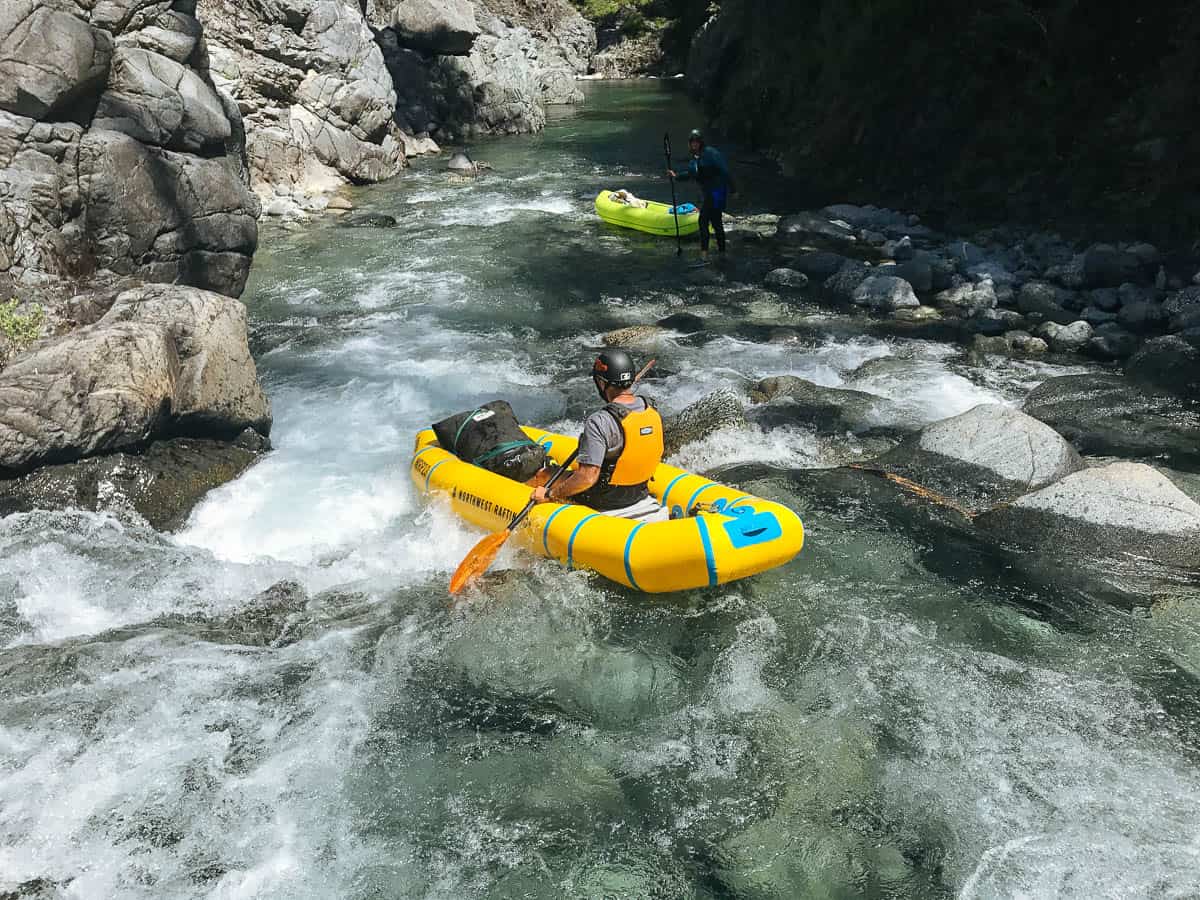
Kayaking one of the many fun rapids in the Magic Canyon
Mile 2.5: Babyfoot Creek enters from the right side just after Babyfoot Creek Rapid (III+).
Mile 2.8: Slide Creek Camp is a big camp with sand on the left. You can also hike into here from Chetco Pass or Onion Camp.
Mile 3: Slide Creek Rapid (III+) is a long technical rapid that begins soon after the Slide Creek Camp. Slide Creek enters from the right side partway down this rapid.
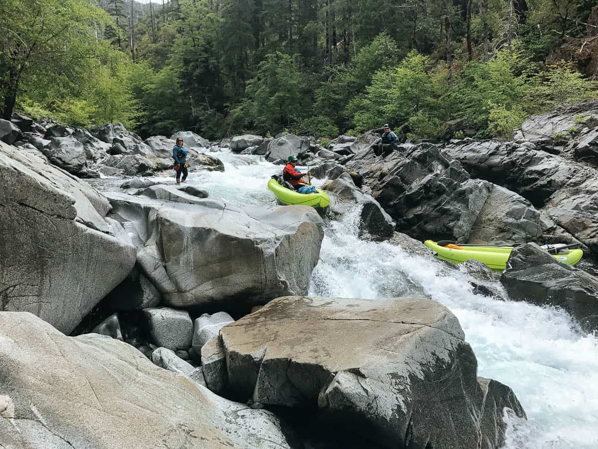
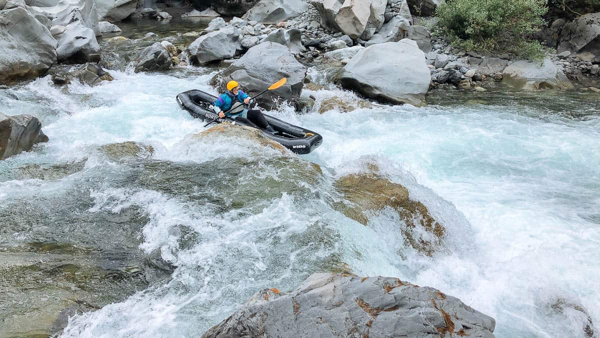
Mile 3.3: Initiation Rapid (III+) can be scouted on the right and will give you a sense of the rapids downstream. The next 2.5 miles contains the steepest and most challenging section of rapids on the Chetco River.
Initiation Rapid on the Chetco River
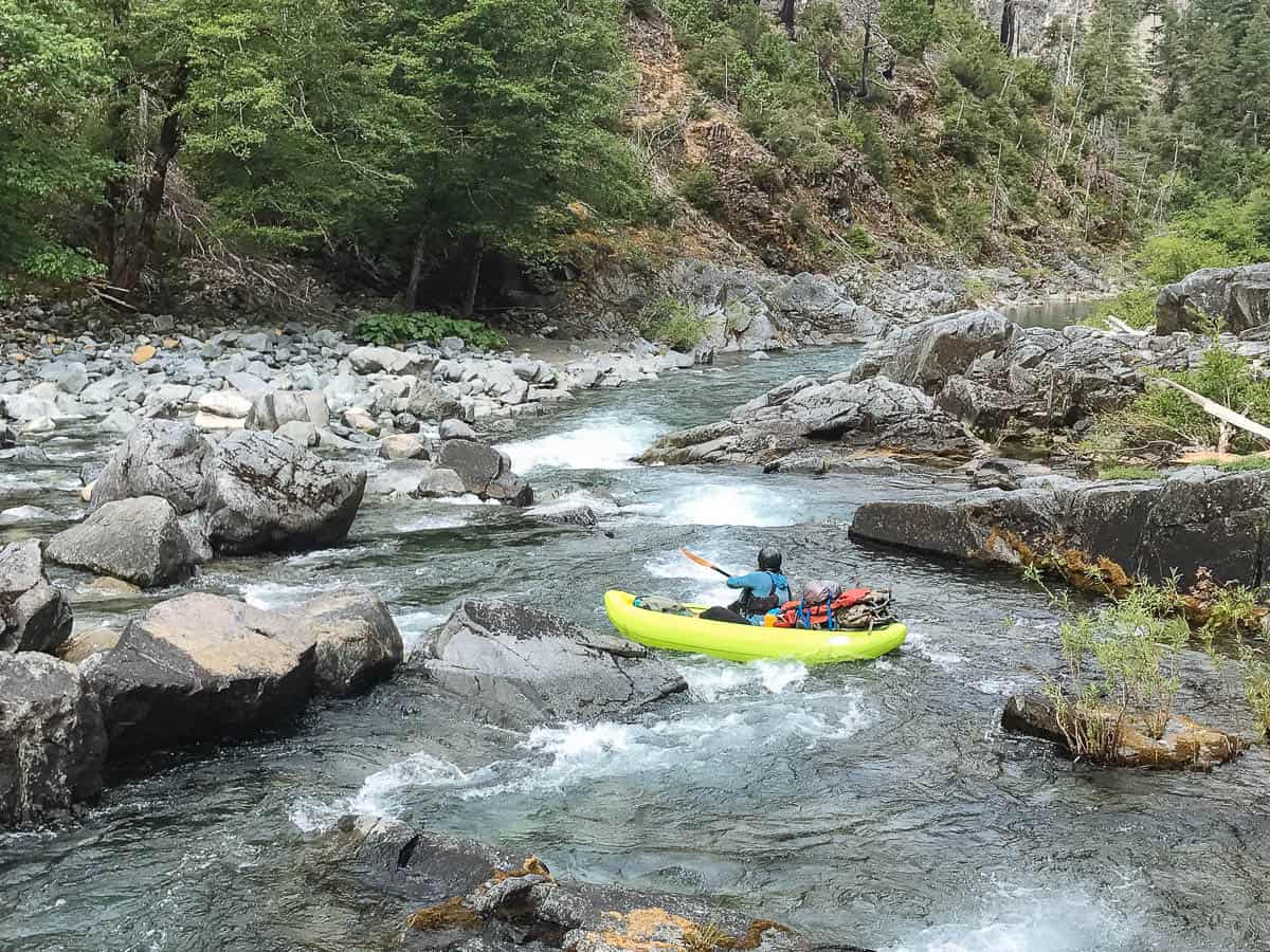
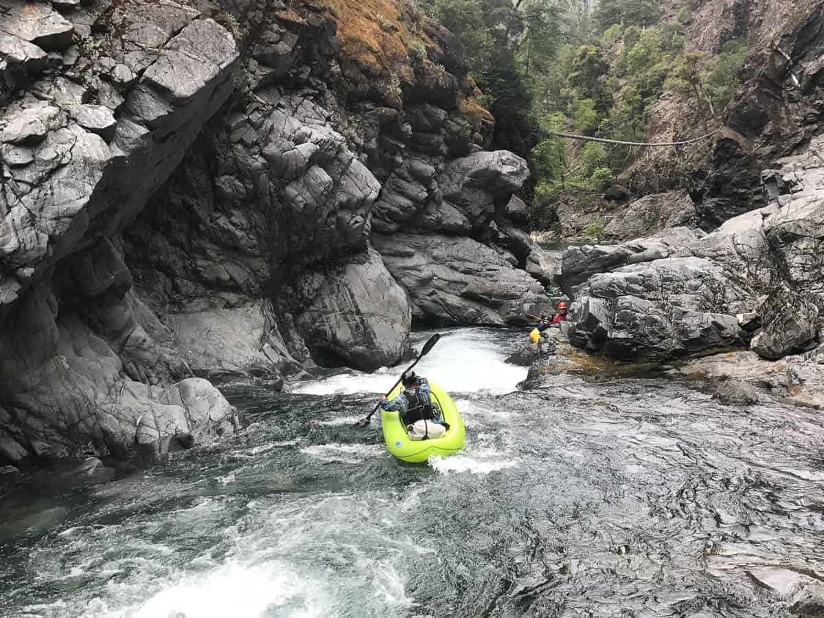
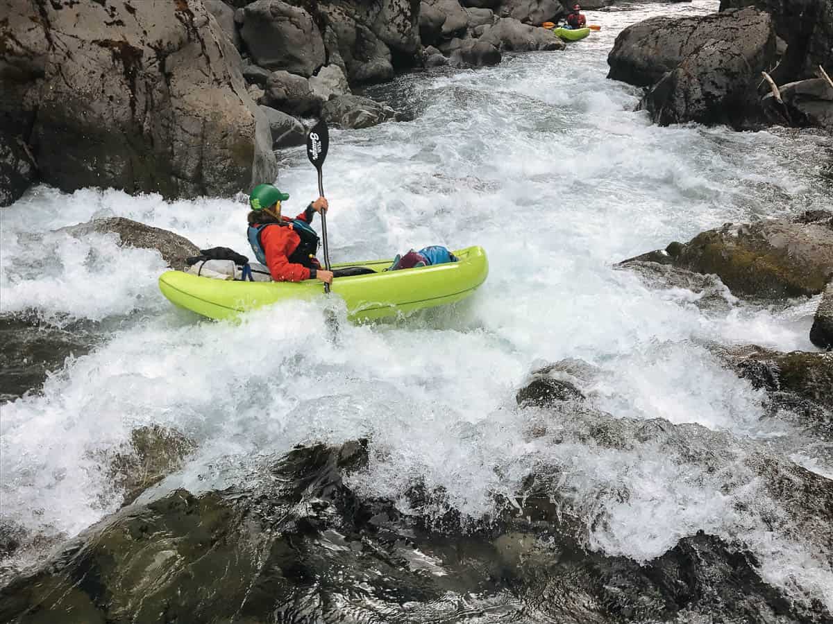
Mile 3.5: Wilson's Way (IV+) is long rapid with a big drop at the bottom is one of the more difficult rapids in the upper gorge. It can be scouted and portaged on the right side.
Kayaking Wilson's Way on the Chetco River
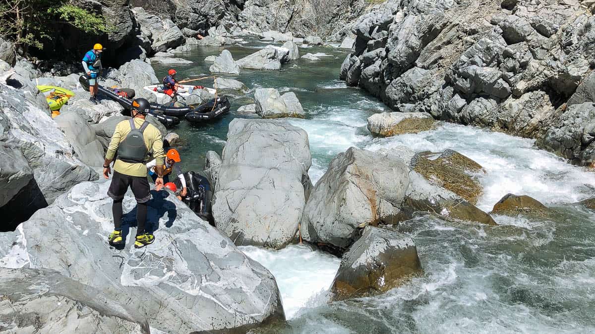
Mile 4: The Portage Rapid (V) is often portaged due to dangerous rocks and is a fairly easy portage on the right.
The Portage Rapid on the Chetco River
Mile 4.1: Bedrock Drop (IV) is a fun drop that can be scouted on the right side. There is a beautiful (and rocky) camp on the right just before the next rapid.
Bedrock Drop on the Chetco River
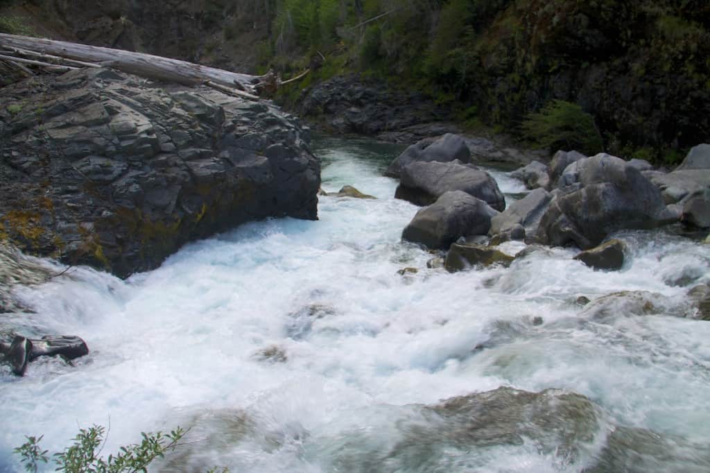
Mile 5.15: Sieve Rapid #1 (IV+/V) can be run but is typically portaged on the left. It comes quickly after another rapid but there is a nice eddy on the left before the rapid.
Mile 5.2: Sieve Rapid #2 (IV+/V) typically has both wood and sieves at low water that are covered at higher flows. At lower flows boats can be portaged or lined on the left side. At higher water the sieves may be covered up.
Portaging Sieve Rapid #2 on the Chetco River
Mile 5.8: Granite Creek enters on the right signaling the end of the steepest section of the Chetco River.
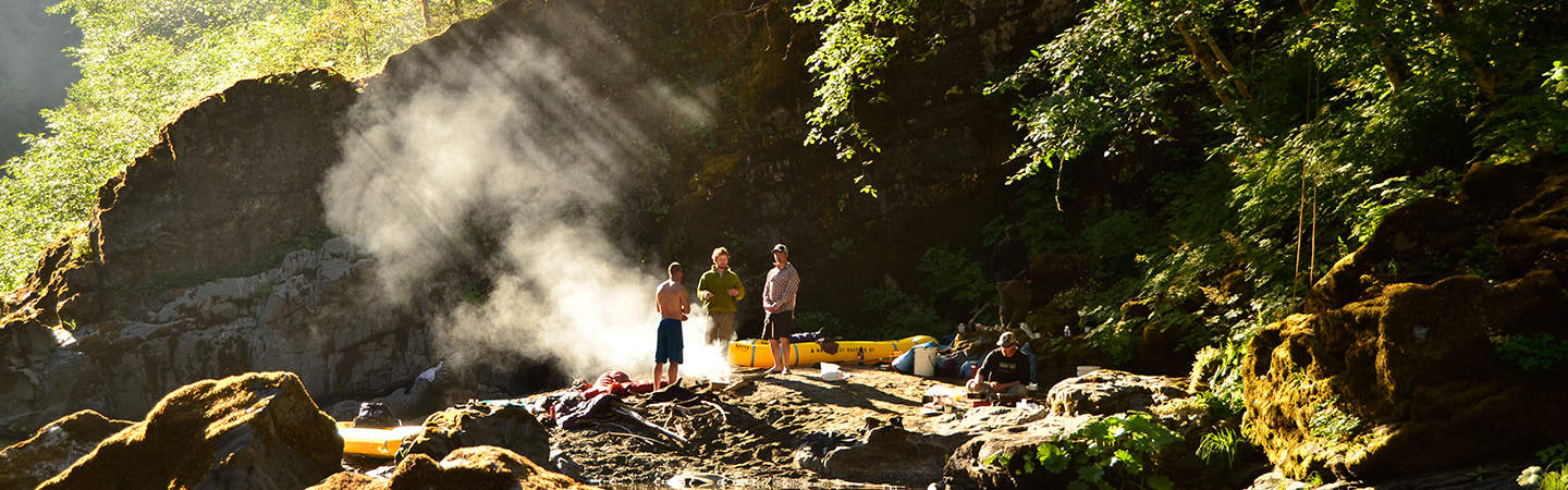
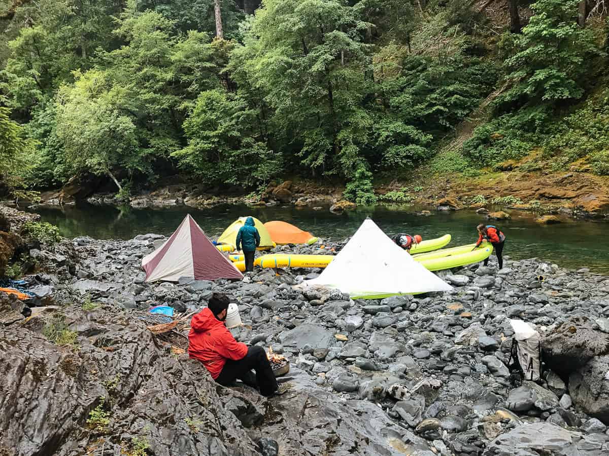
Mile 6.6: Taggart's Bar has beautiful flat pools and a rocky shelf on the right side. This is a good place to camp.
Taggarts Bar
Mile 8.3: Box Canyon Creek enters on the left side.
Mile 9: Boulder Drop (IV+) is a big drop that can be scouted on the right or left side.
Kayaking Boulder Drop Rapid on the Chetco River
Mile 10: Chetco Bar is a large rock bar on the right hand side that makes a great camp if you don't mind camping on rocks.
Camping at Chetco Bar
Mile 10.6: Higgen's Bar is a small rocky bar on the right that makes a good camp. There's a tough rapid here with a dangerous sieve that can be portaged on the right.
Mile 14.6: Tin Cup Rapids (IV+) are a series of challenging rapids before Tin Cup Creek enters on the right side.
Tin Cup Rapids on the Chetco River
Mile 16.6: White Rocks Rapid (III) is a particularly beautiful rapid surrounded by beautiful White Rocks.
White Rocks Rapid on the Chetco River
Mile 17.7: Boulder Creek comes in on the left side and there are great camps here on both the right and left. This is where the Chetco River leaves the Kalmiopsis Wilderness.
Mile 20.5: Tollman Ranch is on the right bank and there is a possible take-out on the left side just downstream.
Mile 23.7: SB #1 (IV+) is a long, complicated rapid.
The entrance of SB #1 on the Chetco River
Mile 23.9: SB #2 (IV) is another long rapid just downstream with a tricky drop at the bottom.
Mile 26.1: Take-out at the Iron Bridge.

