The John Day is the Northwest's longest free-flowing section of river. It begins in the Blue Mountains of Central Oregon and flows 284 miles to the Columbia River. It is entirely free flowing except for the last two miles which are impounded by the Lake Umatilla formed by the John Day Dam on the Columbia River.
Rafting on Oregon's John Day River
The river was named after John Day who was a member of an expedition to the mouth of the Columbia River that left St. Louis in 1810. John Day explored this part of Oregon while lost during the winter of 1811–1812.
There are no services (or available drinking water) near the BLM put-in at Clarno so make sure you bring everything you need. There's no camping at the put-in, but we noticed several groups sleeping in their cars the night before the trip.
Trip Highlights
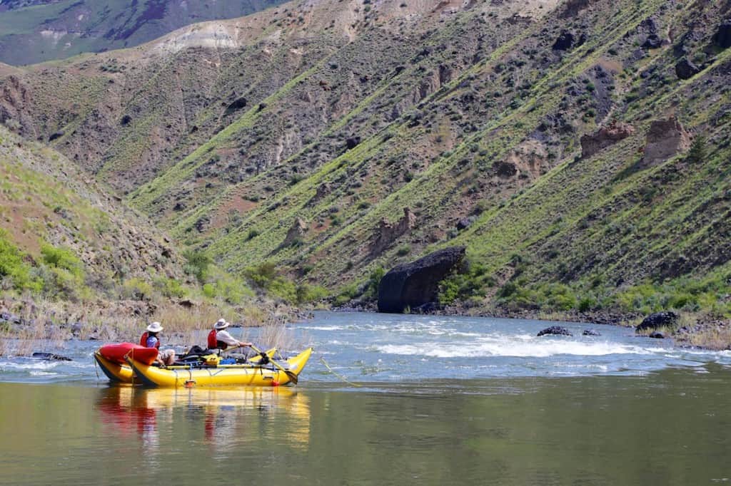
Mile 0: Put-in at Clarno.
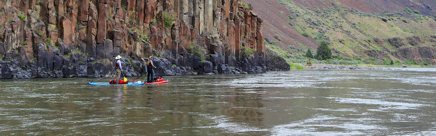
Mile 4.5: Clarno Rapid (III) comes up quickly after a couple Class II Rapids. Catch a small eddy on the left bank as the river bends to the right to scout on the left side.
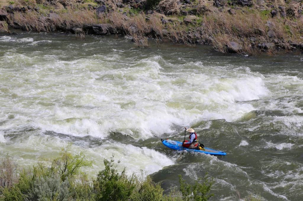
Paddleboarding Clarno Rapid on the John Day River
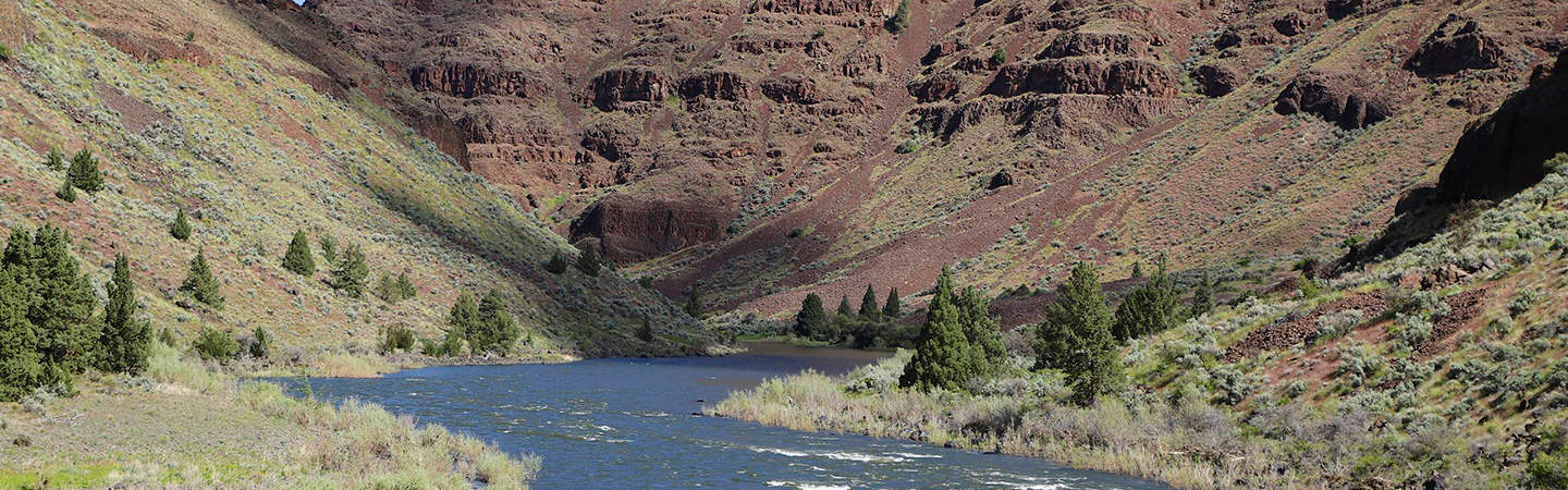
Mile 15: The Basalt Rapids (II) are a series of rapids that end at Red Wall, a beautiful basalt cliff on the left side of the river.
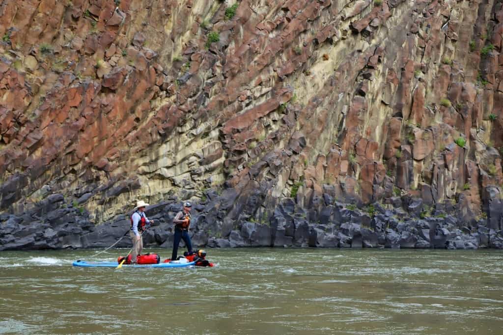
Basalt Cliffs on the John Day River
Mile 25: Thirtymile Creek enters from the right. There is potential river access here that requires access through the private Rattray Ranch. Call (541) 384-4189 to reserve access through Rattray Ranch. This access was protected by Western Rivers Conservancy.
Mile 34: Horseshoe Bend is a classic horseshoe shaped meander also known as the Great Basalt Canyon. There are many of these meanders along the John Day River and this is the most distinct one.
Mile 54.5: The Gooseneck is another horseshoe shaped meander.
Mile 68: Take-out just below Cottonwood Bridge on the right bank.