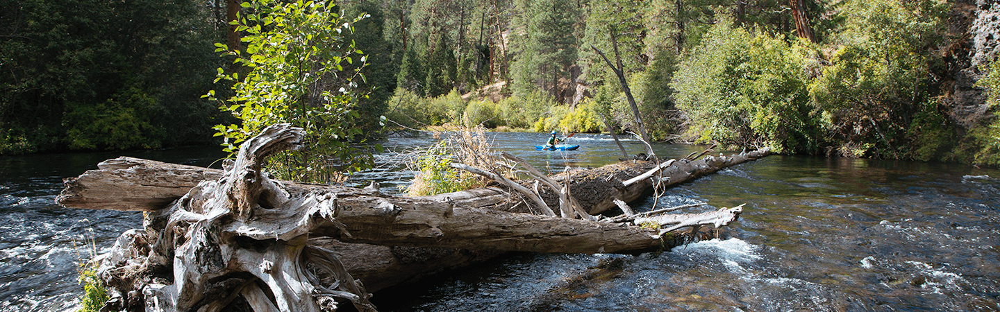
The Metolius is a beautiful river with a consistent year-round flow that emerges from a healthy upstream aquifer. The whitewater is generally Class II but there are a few Class III moves along the way. This section earns a Class III+ rating because of its very continuous nature and the high potential for dangerous wood.
Dangerous river-wide log jams are common on the Metolius River
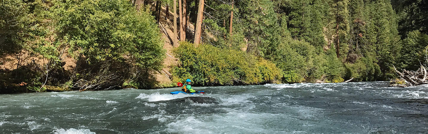
A solid Class III+ boater could do this run but would want some more confident boaters along that can spot out downstream wood and set a good line or portage. There are very few eddies here so if you swim it would be very difficult or impossible to get your boat to shore in a reasonable amount of time.
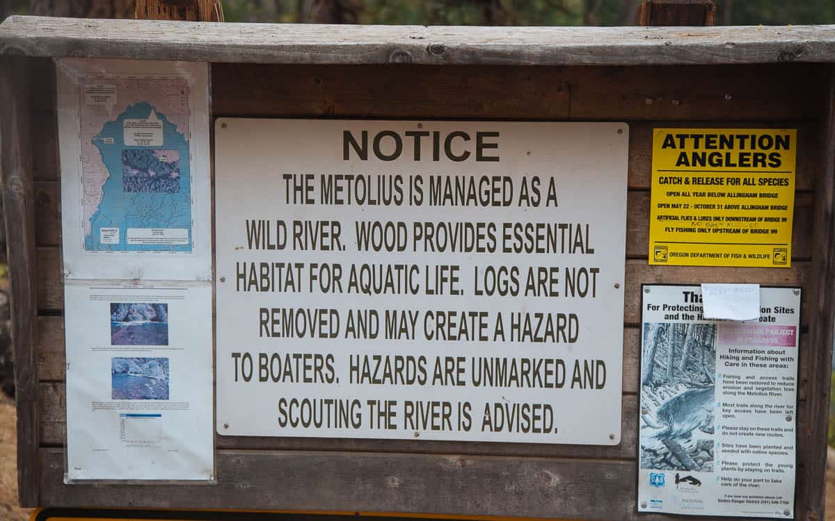
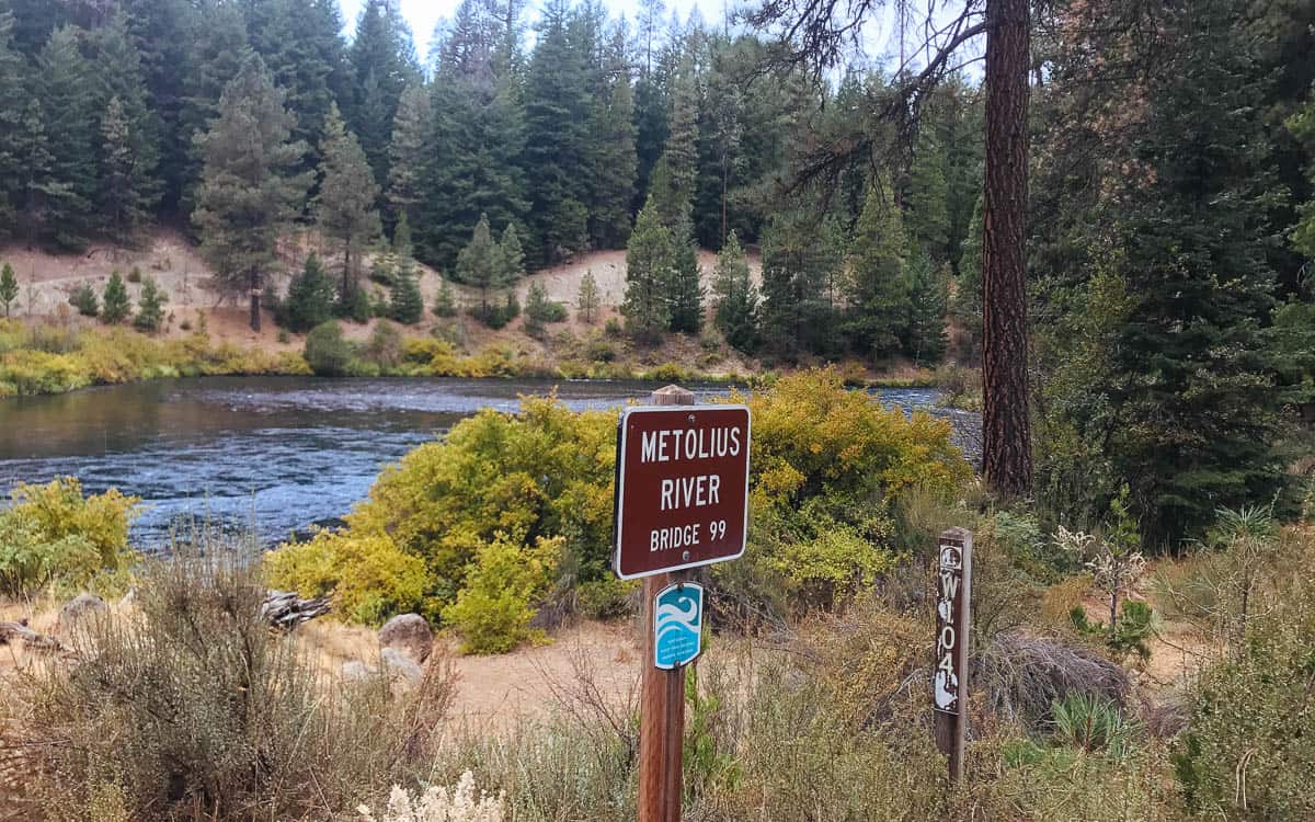
Sign at put-in for the Lower Metolius River
The river left side after Jefferson Creek and Candle Creek Campground is part of the Confederated Tribes of Warm Springs. You should not stop on the reservation land unless you have permission.
Trip Highlights
Mile 0: Put-in at Lower Bridge Campground.
Lower Bridge Campground on the Metolius River
Mile 1.5: Candle Creek Campground is on the river left side. Just below here are Candle Creek and Jefferson Creek. The land on the river left side downstream of Jefferson Creek is Confederated Tribes of Warm Springs Land.
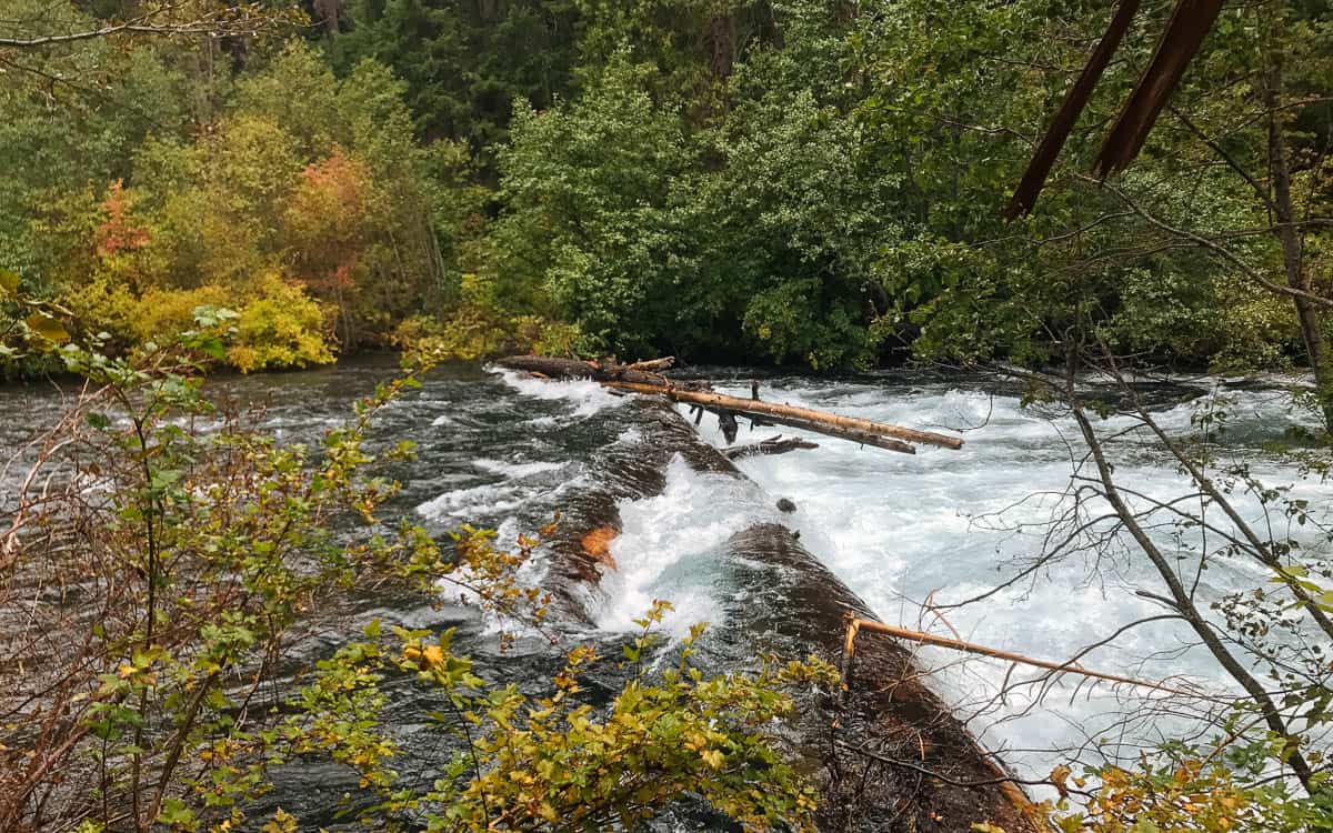
Mile 7.56: There is a river-wide logjam here with a couple small eddies above it on the right. Please be courteous when using the portage trail as this may be private property.
Mile 12.2: The Whitewater River enters from river left.
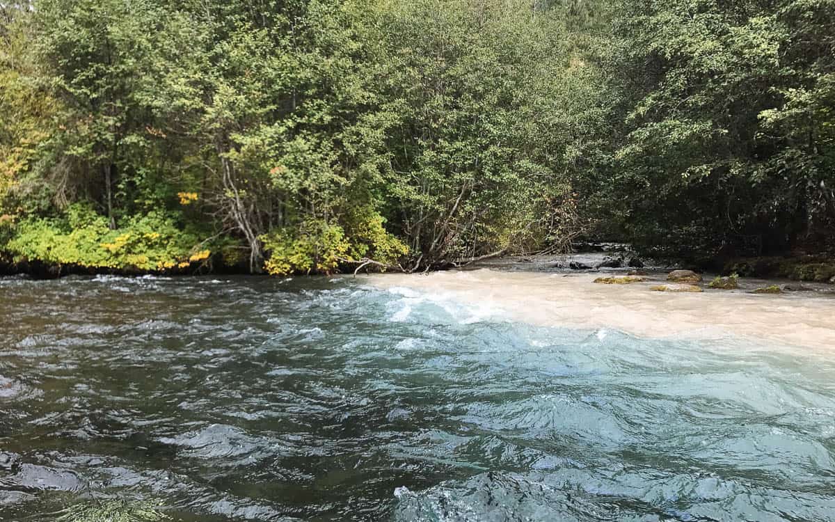
Confluence of the Metolius River and the Whitewater River
Mile 17.2: Take-out at Monty Campground or continue down to Lake Billy Chinook.

