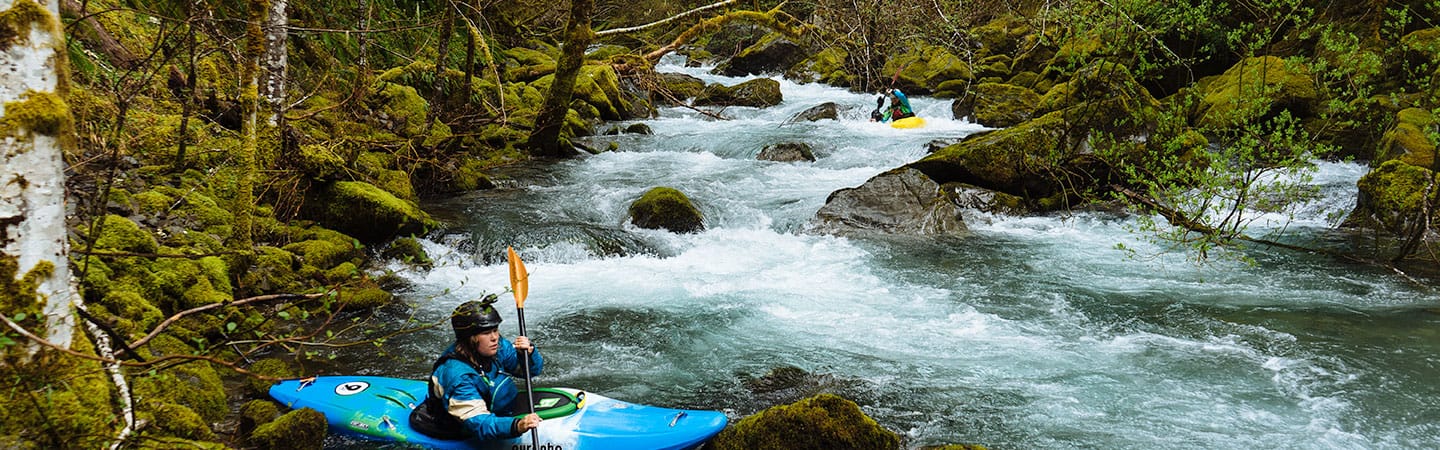
This is not a classic whitewater run in the Smith River drainage. Instead this is an amazingly beautiful river flowing along the southwest border of the Kalmiopsis Wilderness. If you paddle this river be prepared to get lost, do 10+ log portages, and have a long day. This is one of the most beautiful rivers in the National Wild and Scenic Rivers system and well worth the effort if you like adventures in beautiful places.
1. Gold Beach Ranger District Map
2. GPS
3. 4wd with clearance
4. An early start
This section of the North Fork of the Smith River in Oregon is very remote and wild. Evacuation or hiking out would be nearly impossible due to the thick forest canopy.
Trip Highlights
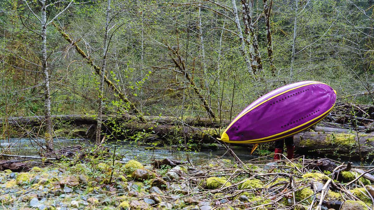
Mile -0.5: Begin hiking where Road NF-290 becomes impassable for vehicles. After about 0.3 miles the road will become overgrown and hard to find. At this point head down hill through thick overgrown brush until you reach the North Fork of the Smith.
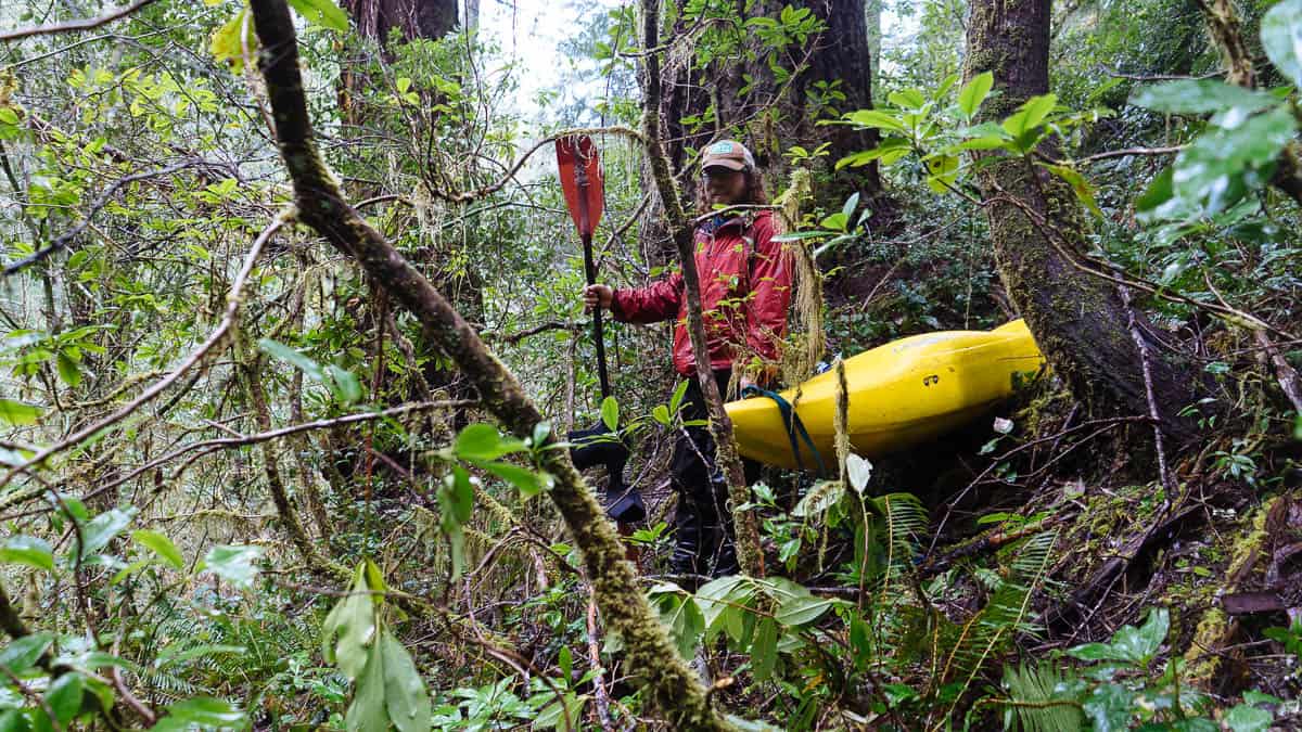
Hiking into the North Fork of the Smith Headwaters
Mile 0: There are a few places to put-in based on how you get from the end of NF-290 to the river. The first mile is full of logjams and a few rapids.
One of the many logjams you'll have the opportunity to portage
Mile 1.75: After a sizeable creek enters from the right look for an eddy above Mossy Wall (IV). This is a narrow channel through bedrock with some holes to punch through.
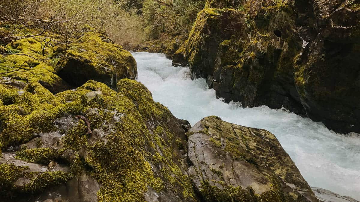
Mossy Wall Rapid on the Upper North Fork of the Smith River
Mile 4: Chrome Creek enters from the left side at the end of a series of rapids. Its hard to notice Chrome Creek since it enters at a steep angle in the middle of a rapid. With the additional flow the river has nearly twice volume. The rapids below here change to a more pool/drop style.
Mile 6.3: Baldface Creek enters from the left. This beautiful tributary adds about 50% more water volume.
Mile 7.1: North Fork Falls (IV+) is a long, complicated rapid that should be scouted. You can portage the entrance drop on the right side.
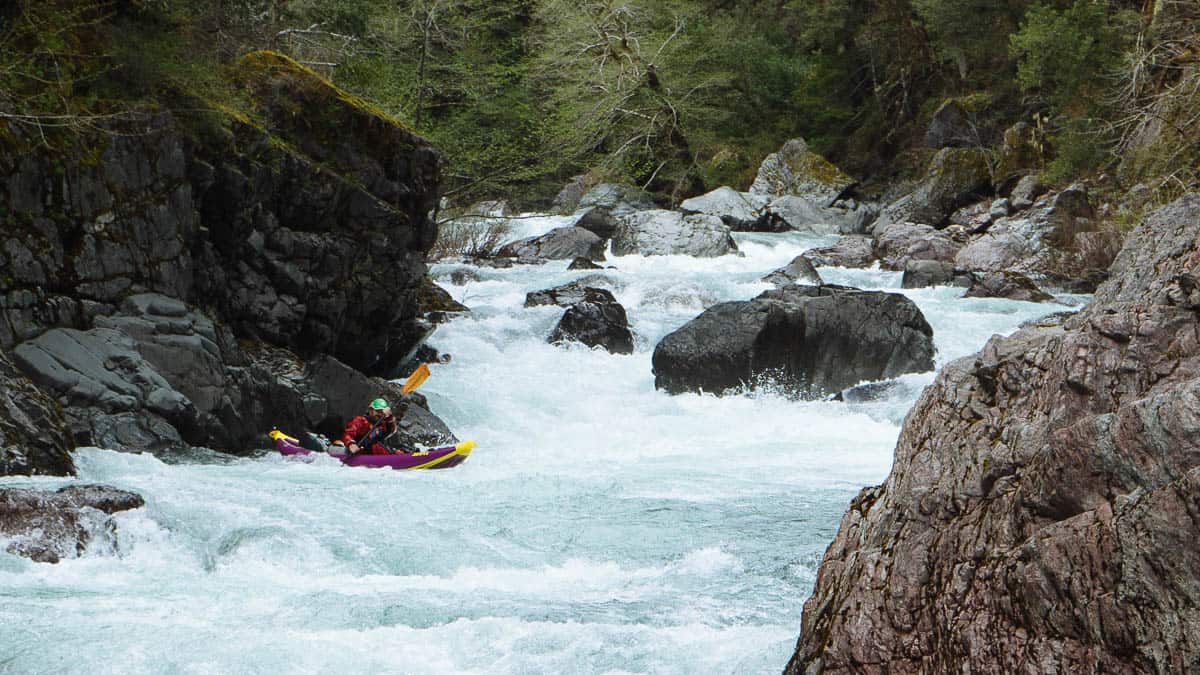
North Fork Falls on the North Fork of the Smith River
Mile 8.8: Cedar Creek enters from the right side. This is where the rainforest feel of the Upper North Fork changes to the sparsely forested peridotite landscape similar to the more commonly paddled North Fork of the Smith River downstream.
Mile 8.9: The Oregon/California border is just downstream of Cedar Creek.
Mile 10.3: Take-out at Major Moore's or continue down the classic North Fork of the Smith.