The Drangme Chhu is a beautiful river in Eastern Bhutan that eventually becomes the Manas Chhu and flows to India. There are several sections with Class V rapids upstream of this section that begins near the town of Kengkhar.
Rafting the Drangme Chhu in Bhutan
The tricky part of running this river is getting to the put-in. First, you have to get to Eastern Bhutan which is a few days drive from the bigger towns of Paro an Thimphu. Once you're near Mongar in the East, you'll start by driving down the Kuri Chuu. From the Kuri Chhu you'll follow narrow roads up 4500 feet to Kengkhar before descending 4500 feet into the Drangme Chhu canyon. The road ends with a 45 minute walk to a walking bridge that crosses the river.
Trip Highlights
Mile 0: Put-in at the footbridge that crosses the Drangme Chhu near Kengkhar. There is a 45 minute hike from the end of the road near Kengkhar down to the river. There is a camp on river left called Thinley's Camp.
Mile 0.2: Just below the footbridge a beautiful creek enters from the left side.
Mile 4.1: The Long Rapid (IV+) is formed by a creek on the right that had a massive blowout/landslide. There are some big holes in the main channel but there is a technical sneak line on the far left.
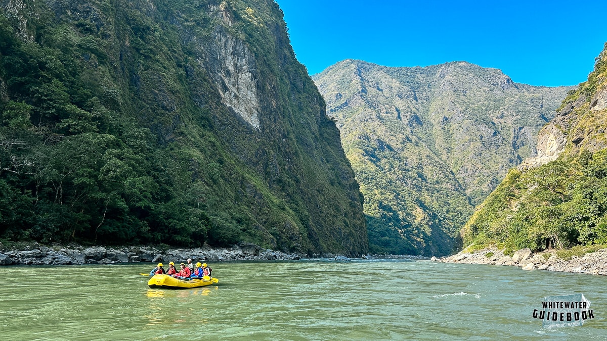
Mile 8.3: Gateway to Manas (IV) occurs where the canyon narrows just before the confluence with the Kuri Chhu. When you see a car bridge across the river eddy out on the right side as you'll want to scout this rapid. There is a challenging center line and tricky right side sneak.
Mile 8.5: The Kuri Chhu enters from the right side nearly doubling the flow.
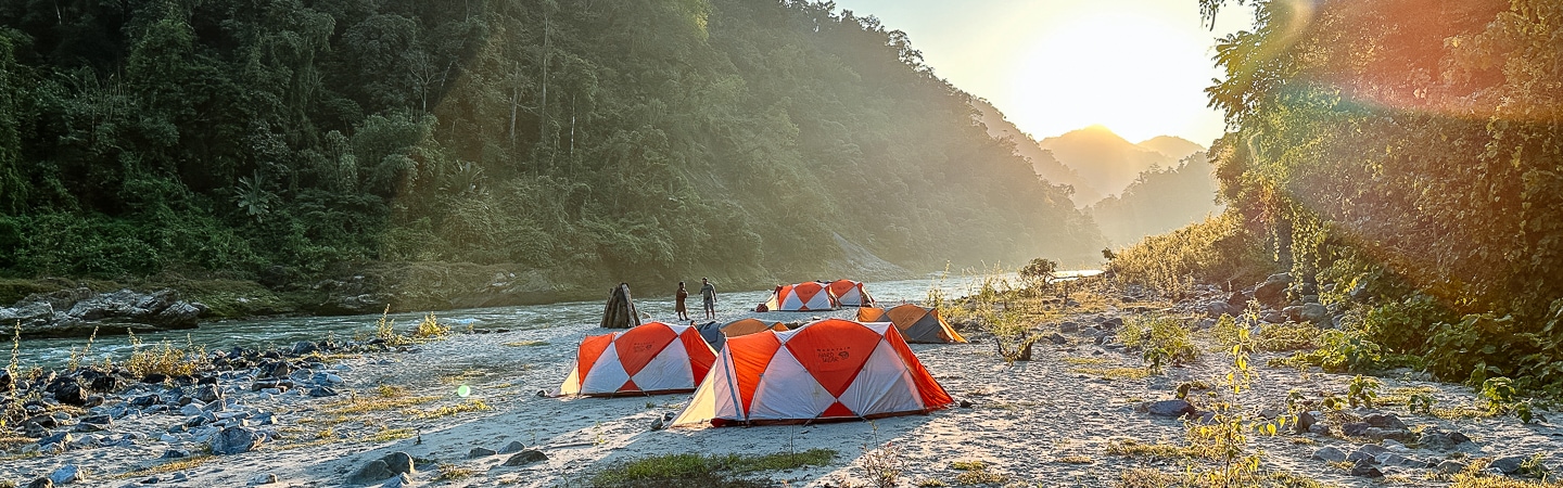
Mile 16: Chencho's Camp is a big sandy beach on the right.
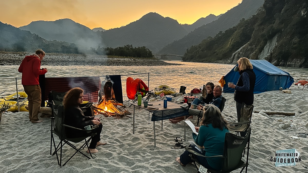
Camping at Chencho's Camp on the Drangme Chhu in Bhutan
Mile 16.3: The Yangbari Suspension Bridge crosses the river.
Mile 30: Arjun's Camp is on the right side. There are some small sandy spots near the river and a large sandy bench about 30 feet from the river.
Mile 31.6: Figure of Eight (IV) is a long rapid that would be difficult to scout.
Mile 33.6: Camel Humps (III+) is a big wave train that can be skirted on the right.
Mile 38: Take out at the Panbang Bridge or continue downstream through Royal Manas National Park.

