
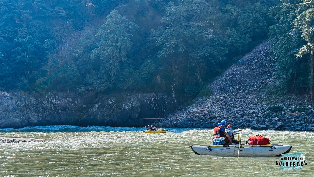
The lower Puna Tseng Chhu is a stunning multi-day trip in the southern part of Bhutan that ends near the Indian border. The rapids are generally fun Class II and III but there is one Class IV rapid that is Class IV+ at higher flows.
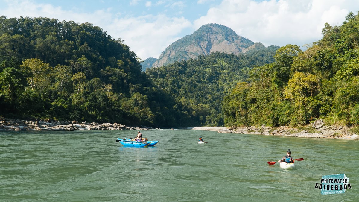
Typical Scenery on the lower Puna Tseng Chhu
Trip Highlights
Mile 0: Put-in at the Sunkosh Bridge on the Wangdue-Tsirang Highway. There are other options for putting in upstream to make the run a bit longer.
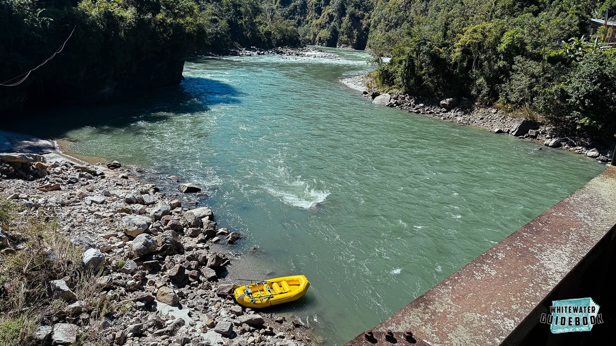
Looking towards Entry Rapid from Sunkosh Bridge
Mile 0.1: Entry Rapid (III) is dogleg to the left with a big pillow on the right wall and can be seen from the Sunkosh Bridge.
Mile 2.3: Stonehenge (III+) is named after a bunch of big rocks on the right side. This is a long rapid where most people stay on the left.
Mile 7.1: The Daga Chhu enters from the right side.
Mile 9.1: There is a great camp on the right just across from a creek that enters from the left. This camp is a huge sandy beach and just above the biggest rapid on this section which usually scouted and sometimes portaged.
Mile 9.3: All Man Out (IV+) is the biggest rapid on the trip and can be scouted on the right side. At higher flows there is a "mid-chute" channel that opens up on the right.
Mile 11.6: There is another huge unnamed camp on the left side that comes just after a small creek enters from the right.
Mile 22: Bara Gumti is a small village on the right bank.
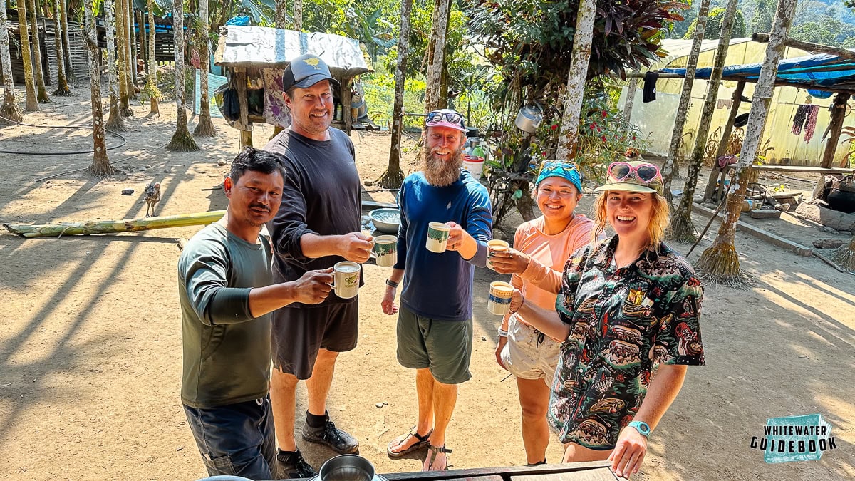
Enjoying a beverage at Bara Gumti
Mile 27: The Samar Chhu enters from the right side.
Mile 28: Red Rocks Camp is a beautiful camp on the right just before a creek enters from the right.

Red Rocks Camp on the Puna Tseng Chhu
Mile 31: Exit Rapid (III) has a similar style as the Entry Rapid. It's a dog leg to the left where most of the rapid pillows up on the right wall.
Exit Rapid on the Puna Tseng Chhu
Mile 33: Take-out at the Karmaling Gewog (Village) on the right bank.

