The Nass River is part of British Columbia's Sacred Headwaters which also includes the famous Skeena and Stikine Rivers. These rivers are big volume, have stunning geology and scenery, and are full of wildlife.
This section of the Nass River is a world-class 4 to 6 day trip. There are some spectacular camps and fun sections of big water Class III and IV rapids. Bears, wolves, eagles, river otters, and even seals are common. Although the road is somewhat close and you paddle under a handful of bridges it is - and will feel like - a wilderness river.
The whitewater comes in short canyons that have back to back big water rapids. Most of these are read-and-run by competent big water paddlers. If you're not accustomed to big water then you'll want to scout often.
Trip Highlights
Mile 0: Put-in on river right of the Bowser River. Look for a dirt road on the East side of the road 1.4 miles West of the Bell #1 Bridge. This dirt road that heads 3.6 miles directly North to the Bowser River through dense tall bushes just wide enough for a truck. It ends at a turn around and dirt ramp next to the Bowser River. Be prepared to carry/slide all your equipment about 30 feet.
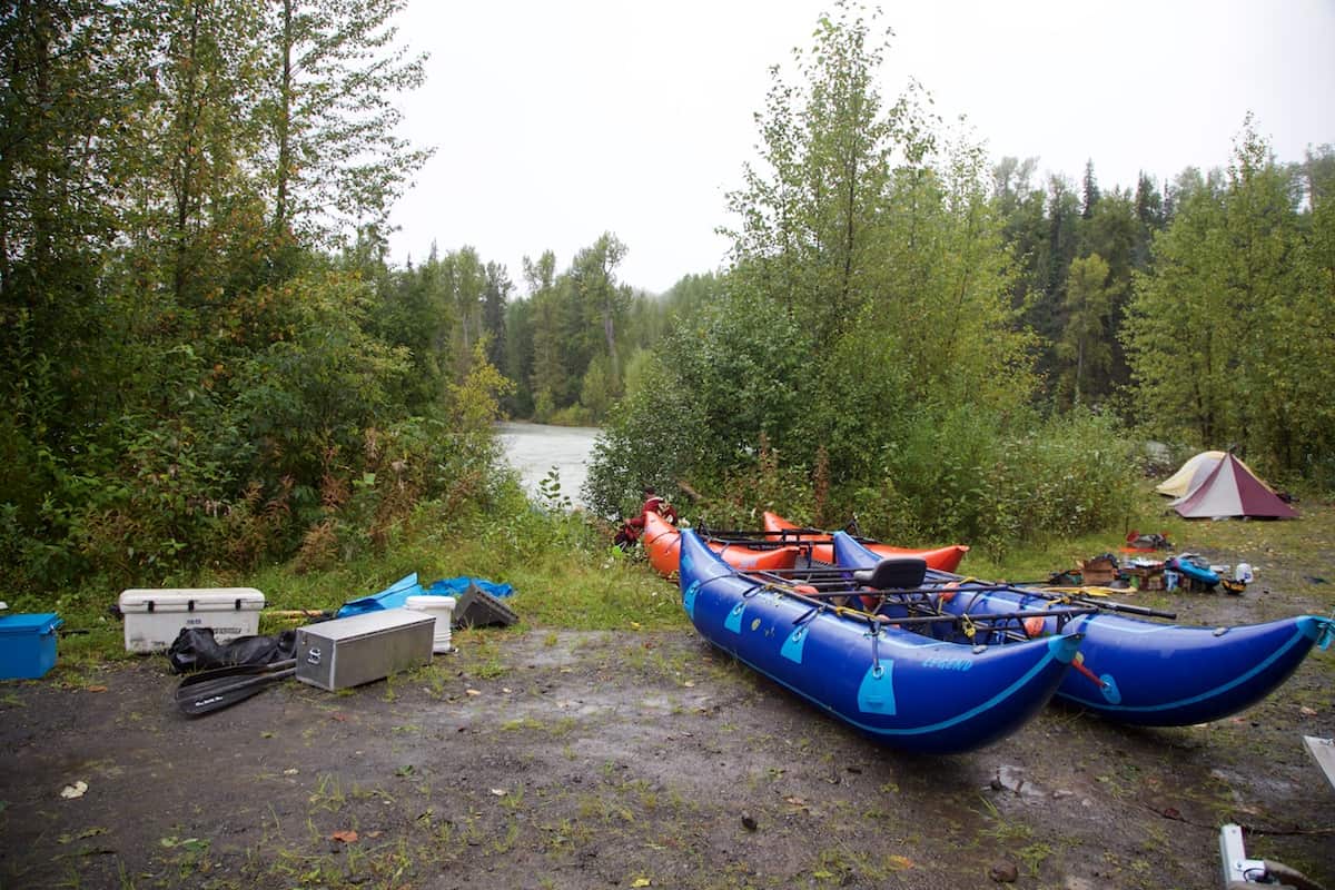
Bowser River Boat Launch
Mile 1.7: The Bell Irving River joins from the left.
Mile 4.9: Paddle under the Bell 1 Bridge which signals that a short section of Class III and IV Rapids in the narrow Bell Irving Canyon is coming soon.
Mile 6.4: The Bell Irving Canyon (IV) is a short gorge with back to back big water rapids.
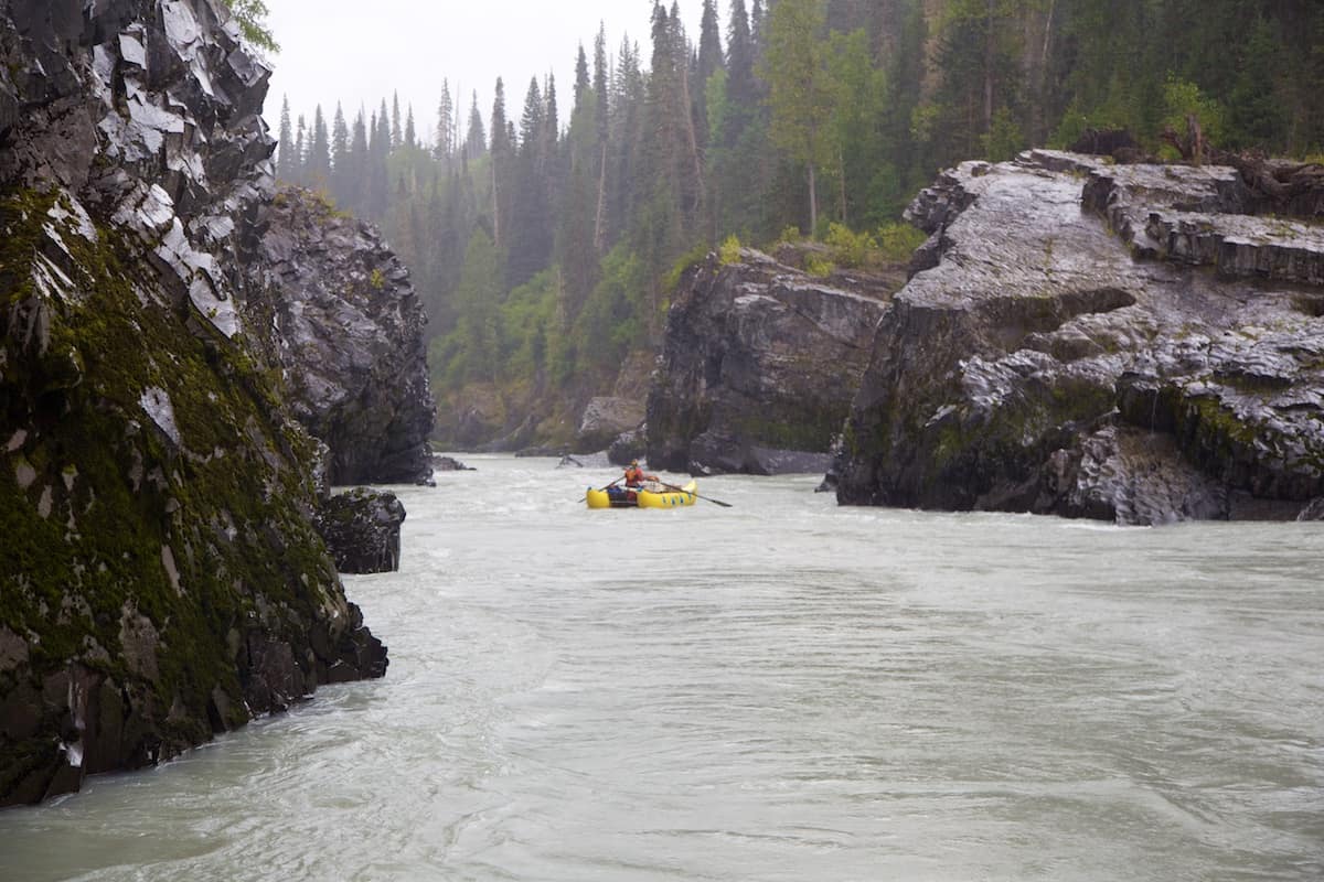
Rapids in the first canyon on the Bell Iriving River
Mile 23.5: The Nass River joins the Bell Iriving River from river left.
Mile 26.4: Kaopectate Canyon (IV) is a fun section of Class III rapids ending in Kaopectate (IV).
Mile 27.3: Kaopectate (IV) is a fun (but boily) rapid in a narrow rocky canyon. Power lines cross the river just before the beginning of this rapid.
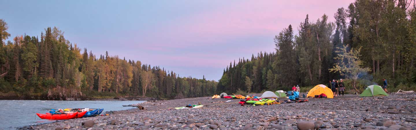
Mile 28.7: Dougie's Camp is a great camp with downstream of Kaopectate Canyon on the right.
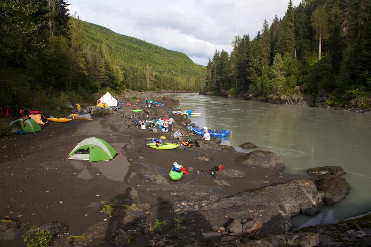
Dougie's Camp on the Bell Irving River
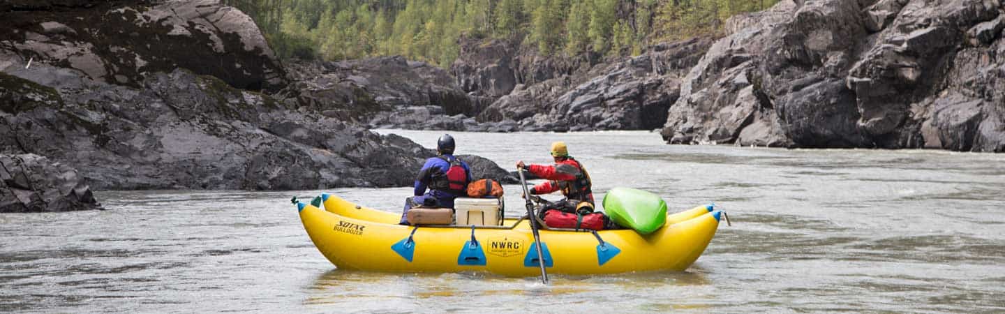
Mile 40: Paddle under the Meziadin Bridge (possible river access for kayaks) which marks the beginning of a long section of big water Class IV rapids. The guide book Rockin' Whitewater by Tania Millen calls this section "potentially the world's best Grade 4 whitewater" and "pool-drop run on steriods."
Mile 40.7: The Meziadin River joins the Nass from the right side at the top the first rapid in this section, Meziadin Rapid (IV).
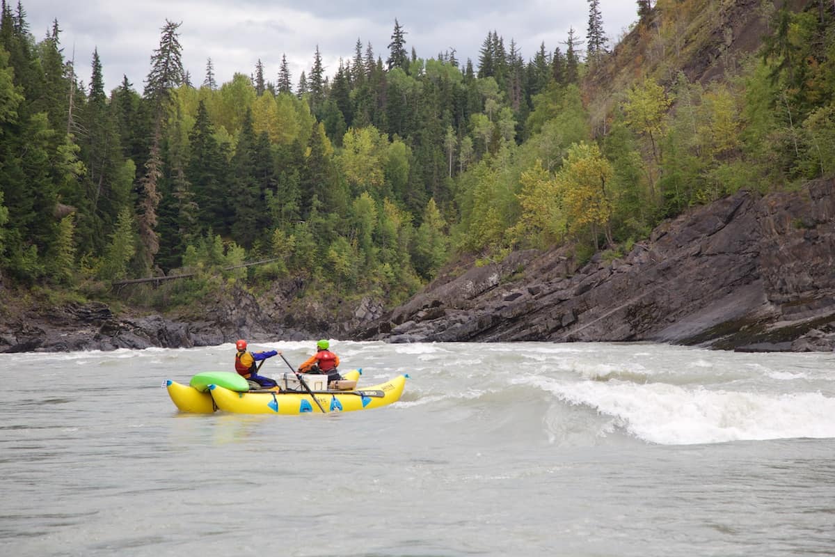
Mile 45.8: Wolf Rapid (IV) is just below the confluence with the White River. At medium and lower flows it splits around and island and both sides have open (but tricky) lines.
Wolf Rapid on the Nass River
Mile 56: Shark Fin Camp is a beautiful large camp just downstream of some interesting rocks that run parallel to the river current.
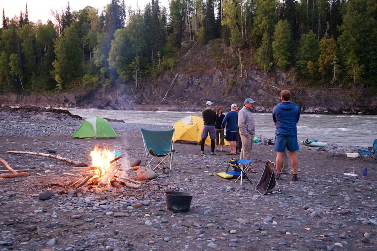
Shark Fin Camp on the Nass River
Mile 60: Paddle under the Van Dyke/Little Paw FSR Bridge.
Mile 69.3: There is a big eddy on the right that marks the beginning of another great section of rapids. These are mainly Class III+ and easy Class IV.
Mile 78.6: Camp just below Cottonwood Island on the right. This is a great camp with a beautiful waterfall in the background.
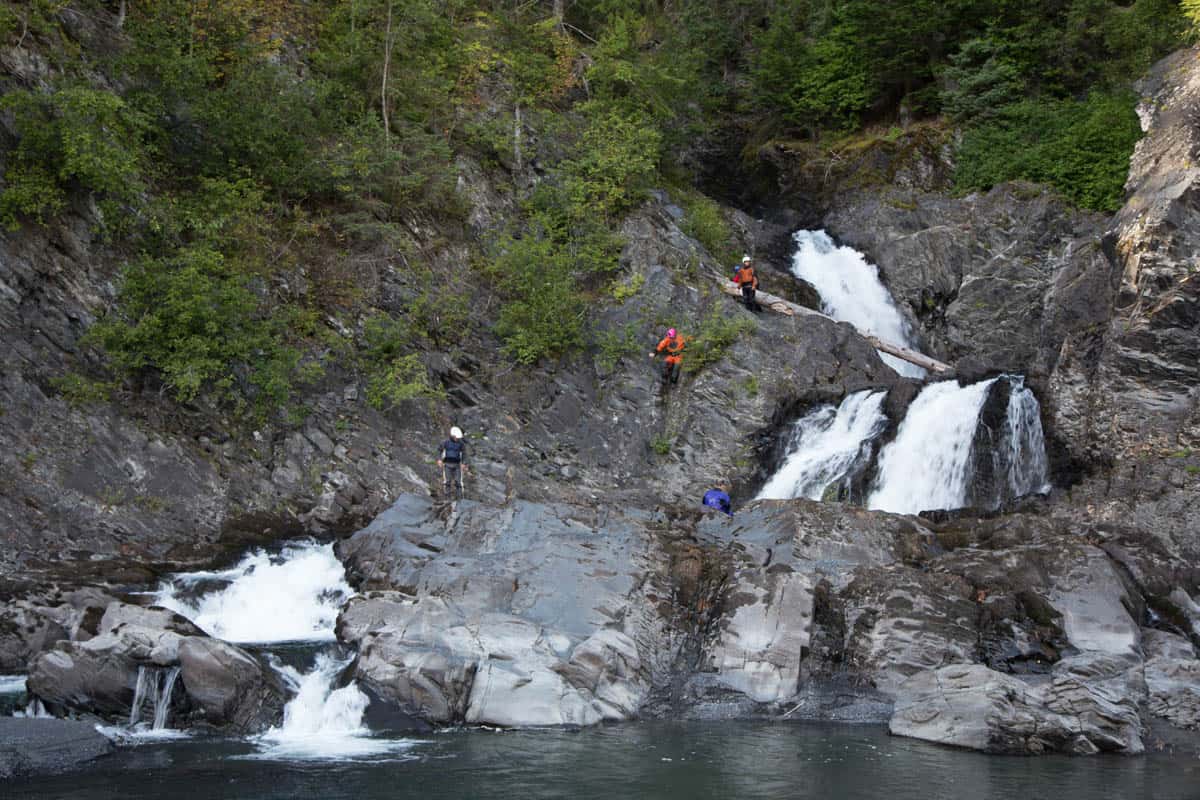
Exploring waterfalls at the Cottonwood Island Camp
Mile 86.5: The Kinskuch River enters from the right side signaling the Squish Rapids (III+).
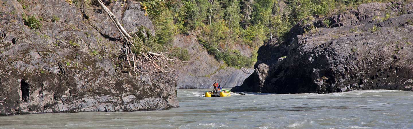
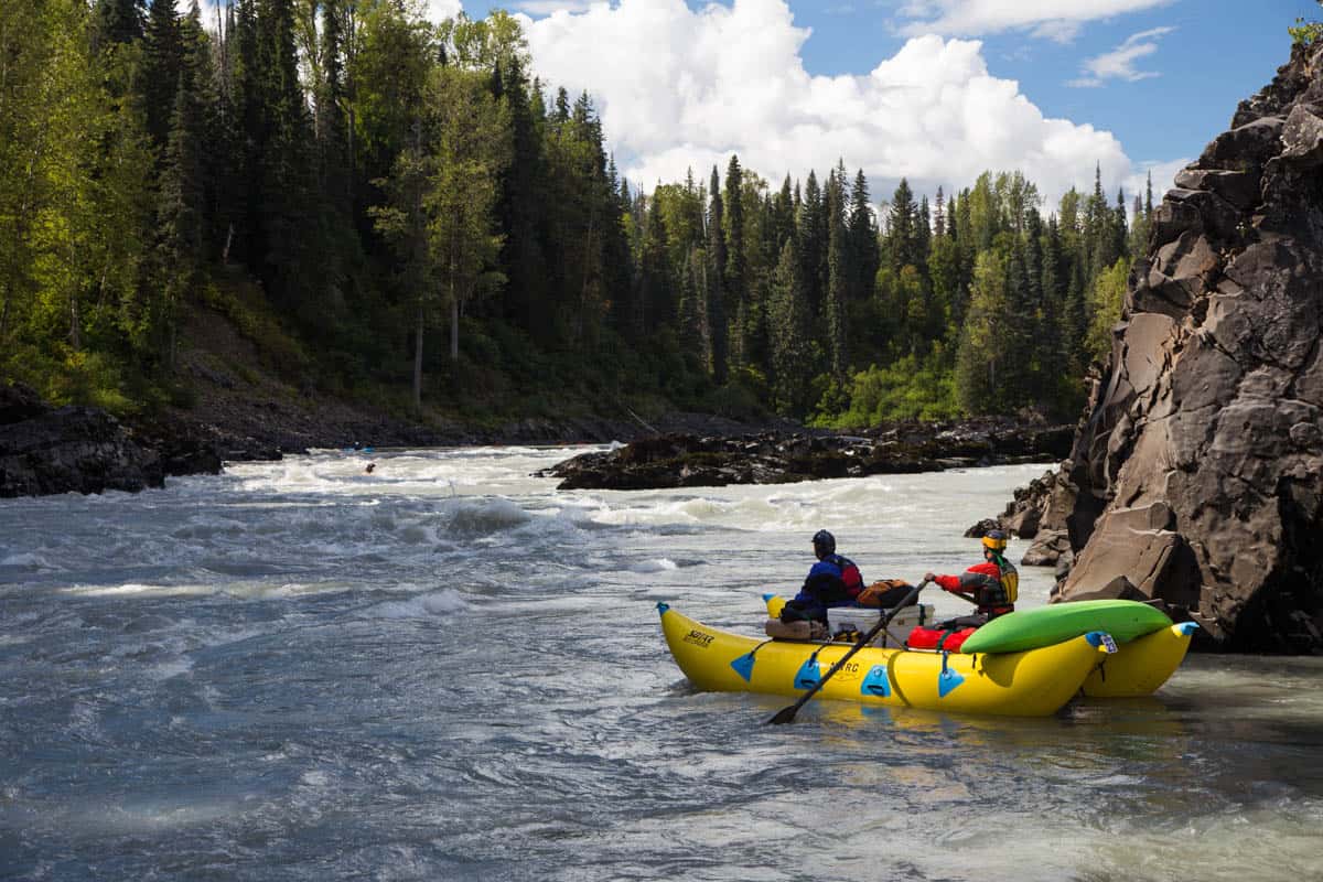
Mile 87.1: Paddle under the Nass Bridge and enter Moose Carcass Canyon (IV) - a series of big water Class III and IV rapids in a beautiful canyon.
Cataraft in Moose Carcass Canyon
Mile 89.5: The Tchitin River enters from the right signaling the end of Moose Carcass Canyon. Below here the river is stunningly beautiful and fairly straightforward all the way to take out. There are some great places to camp one more night or you can paddle another 20 miles (two hours) to take-out.
Mile 109: Take-out at the boat ramp near New Aiyansh on river left. The boat ramp can be found by turning West on Irene Meadows Road 3.3 miles North of New Aiyansh.

