Note: You'll need a day permit to float down the Main Salmon once you're done with the South Fork. You can obtain this permit from the McCall Ranger District (208) 634-0400 or the Krassel Ranger District (208) 634-0600.
The South Fork of the Salmon is much like the famous Middle Fork of the Salmon River, but with bigger rapids and more challenging access. This IV/IV+ stretch of river drains the Salmon River Mountains and flows into the Main Salmon and winds its way through a beautiful forested granite canyon. A river trip down the South Fork provides amazing wildlife and big whitewater.
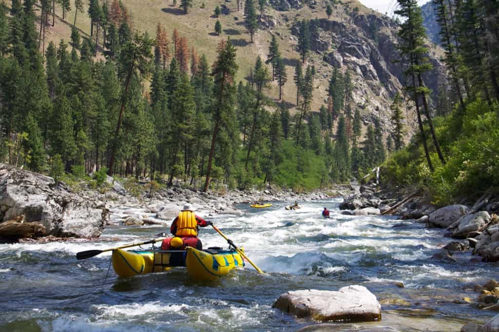
The South Fork of the Salmon is full of great whitewater
The narrow nature of the canyon means that changes in flows mean big changes in the difficulty of the rapids. Lower water runs (below 3') consist of more a more technical run with class IV/V- rapids. Above 5 feet however, the river becomes a lot more treacherous with huge hydraulics and the risk of long, dangerous swims. The river gets exponentially more challenging at flows above 4 feet.
Scouting the entrance to Fall Creek on the South Fork of the Salmon River | Photo by Idaho River Journeys
The South Fork was one of the most important and populated Chinook salmon streams in the region until mining and logging operations and a huge flood in 1964 destroyed the river's ecology. The U.S. Forest Service has since started restoration projects, which are very slowly reversing the damage done.
This shuttle is a doozy! Make sure you're car is healthy and that you have a full-sized spare tire.
Trip Highlights
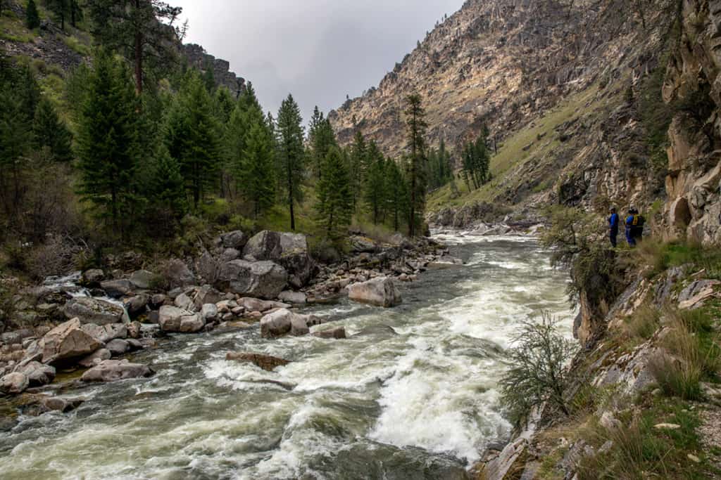
Mile 0: Put-in at confluence with Secesh River.
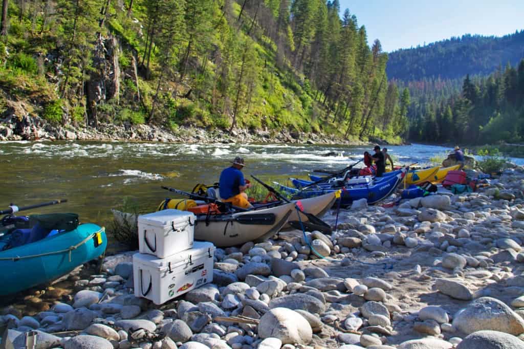
Putting in below the confluence with the Secesh River
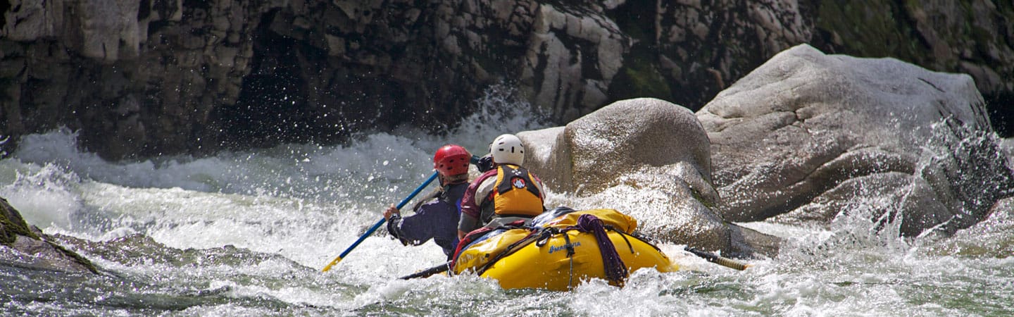
Mile 8.9: Devil's Creek Rapid (V-) should be scouted on the left side.
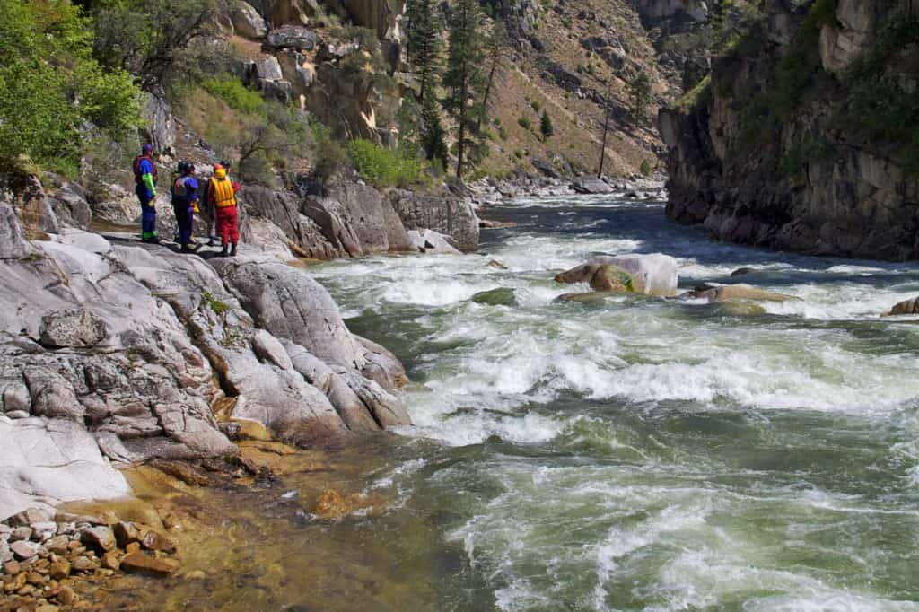
Scouting Devil Creek Rapid on the South Fork of the Salmon River
Mile 14.4: Elk Creek Rapid (V)
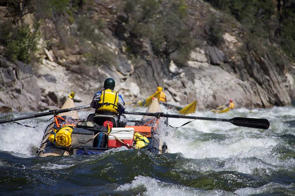
Mile 21.6: Grouse Creek Rapid (IV+) is a long boulder garden after a blind right hand turn.
Grouse Creek Rapid on the South Fork of the Salmon River
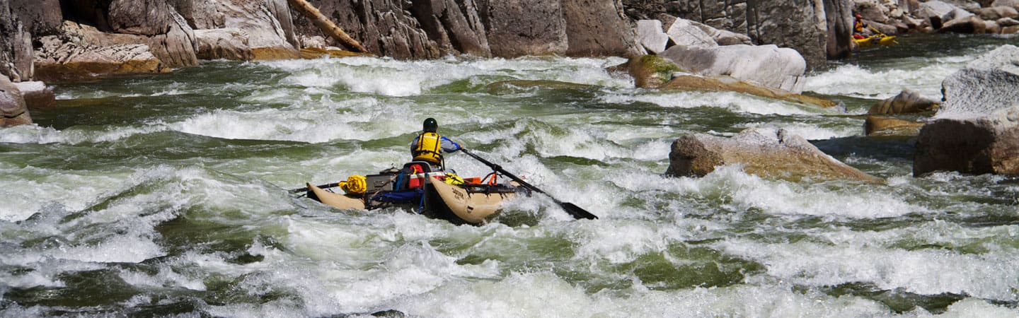
Mile 31.5: Fall Creek Rapid (V) is a long rapid and the biggest rapid on South Fork. Most people eddy out above it on the right and use the trail to scout.
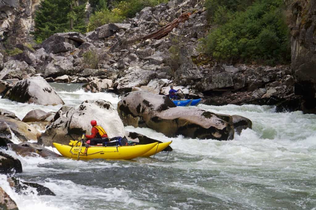
Catarafts in the bottom drop of Fall Creek Rapid
Mile 36.2: Confluence with the Main Salmon River. Mackay Bar is just upstream and offers lodging. There is also an option to fly out here at the Mackay Bar Airstrip. The next 22.5 miles are fairly flat with a few Class II and III rapids.
Mile 59: Take-out below Chittam (III+) on river left. Vinegar Creek boat ramp is an alternate take-out downstream.

