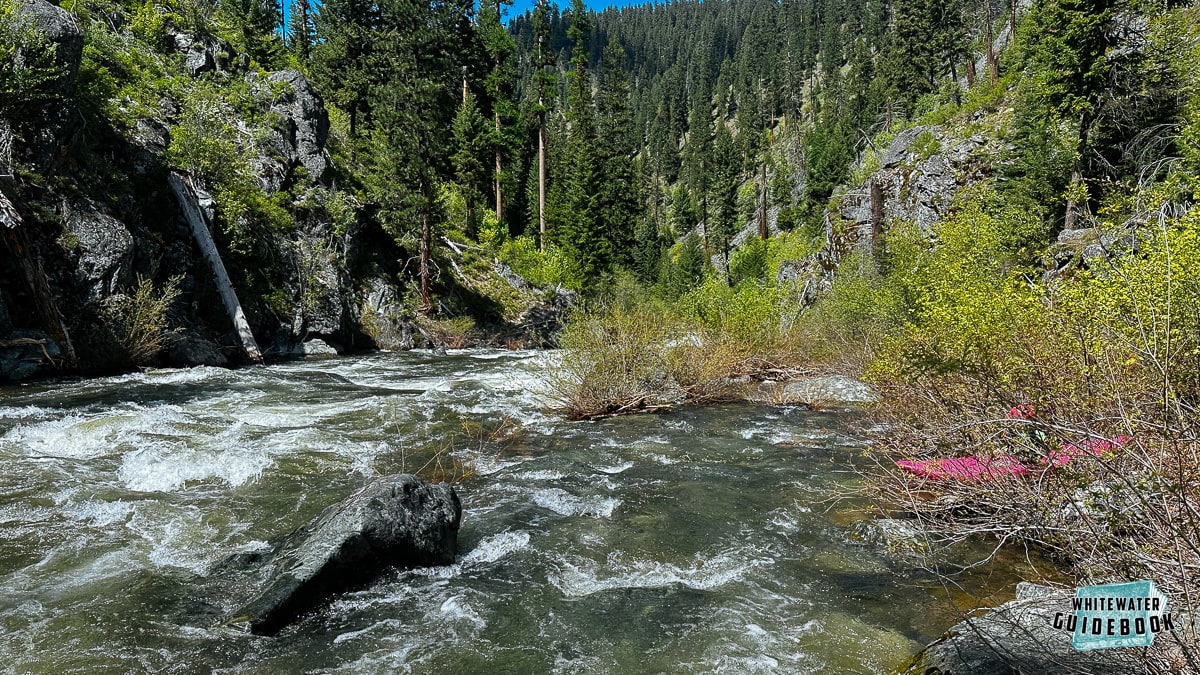
This section of the North Fork of the John Day is designated as a National Wild and Scenic River and flows through the North Fork John Day Wilderness. It meanders through the Blue Mountains and evolves from a small, swift mountain stream to a size-able river at the take out near Dale.
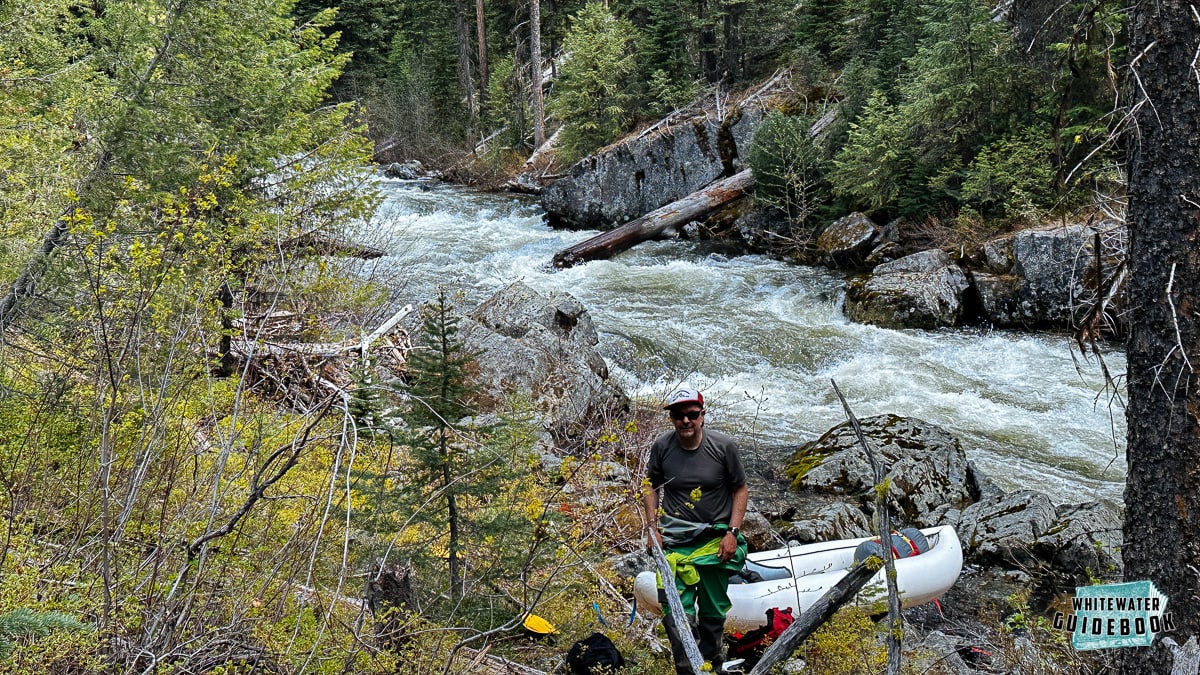
Launching below a log portage on the North Fork of the John Day River
This trip is rated Class IV although most of the rapids are Class III due to it's remoteness, continuous nature, and wood hazards. There is one Class IV+/V rapid (Granite Creek Falls) that is fairly easy to portage. This trip requires solid boat handling and scouting skills to avoid dangerous wood that lurks everywhere. The first 3 miles are particularly dangerous since there are many blind corners and almost no eddies.
The scenery, continuous nature, and many side creeks are reminiscent of the Middle Fork of the Salmon River. Most groups will take 3 days to cover the 40 miles but there are a ton of great camps making 4 days even better.
Trip Highlights
Mile 0: Put-in at the NF-052 Bridge near the North Fork John Day Trailhead.
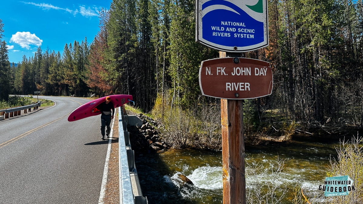
The NF-052 Bridge
Mile 0.6: After a short warm up there's an island that generally has logjams. Just below here the steepness and continuous nature pick up dramatically. The next 2.2 miles are incredibly continuous with wood which makes this section solid Class IV or harder. Most of this section can (and should be) scouted from the river right trail to look for wood and get a sense of how continuous it is. At medium and high flows (above 2000 cfs) there are very few eddies which makes dodging wood difficult.
Mile 2.8: Trout Creek enters from the right side. This would be a nice spot to launch for anyone who wants to miss the continuous whitewater upstream. There is a difficult move to miss a couple logs just downstream of the creek worth scouting or portaging. Below here the river is fairly continuous Class III with a few Class IV rapids.
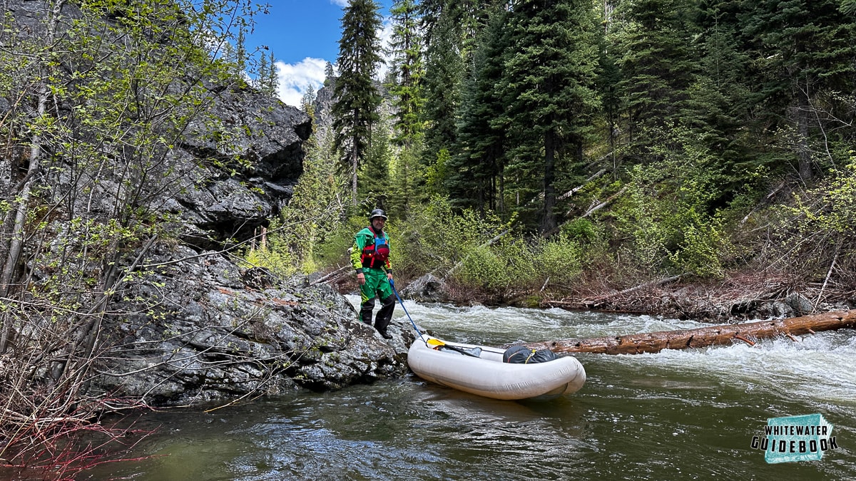
Launching just downstream of the Trout Creek confluence
Mile 9.3: After the river goes through and oxbow you'll see a cool rock formation on the left. The whitewater picks up here along with the log portages. There will be at least 6 log portages and most of them are in the middle or at the bottom of rapids.
Lining around a river wide log found at the bottom of a rapid
Mile 13.9: A bridge crosses the river and Granite Creek enters from the left just downstream. There is a really nice camp on river left here.
Mile 14: Granite Creek Falls (V) is a tricky rapid just downstream of the footbridge. You can scout or portage by stopping at the bridge upstream and walking down or catching an eddy on the right just before the drop. The next section is fairly continuous Class III boating.
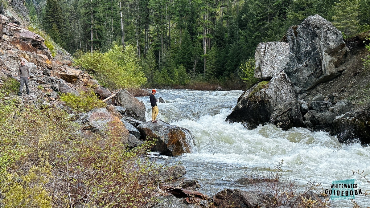
Scouting Granite Creek Falls on the Upper North Fork of the John Day River
Mile 15.7: Mini Jake's (IV) is a long, complicated rapid that can be scouted from the trail on the right. After Mini Jake's the river mellows out and is generally Class II-III.
Mile 26: The NF-5506 dirt road begins to follows on the right side. Parts of it have washed out so vehicle access is a few miles down.
Mile 38: Unnamed Rapid (III+) this is a fun rapid in a beautiful canyon. If you know the name of this rapid please let us know!
Mile 40.5: Tollbridge Campground provides a potential take out.
Mile 41: Take-out where the North Fork of the John Day meets Highway 395 near Dale, Oregon.