Pro Tips: Owyhee River at High Water
The Owyhee River is fickle and it relies on a good snowpack and some rain to produce great flows. Every so often the water rises to the 8,000-10,000+ CFS range. Since it isn't too often to catch those flows many people wondering what the river is like.
April 10-15, 2023 flows went from around 1,000 to peak at 17,300 and I just so happened to be on the river. Below is some beta on what things look like in the 8,000-10,000 CFS range.
Mile 0 - 15
If you have done the Owyhee you know the first 6-8 miles can be really slow with a nice up stream breeze. High water helps makes things move a little faster but nothing significant.
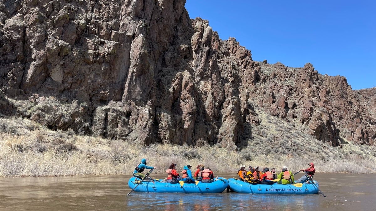
Day 1 Flatwater
Rapids
There was some run read and run unnamed rapids once you pass the Fletcher area. Long Sweet Water, the first named rapid, was awesome. Just a long read and run rapid with some fun waves.
Upset was maybe the most difficult. There is a HUGE hole in the center. To avoid that big hole you can take a left line that puts you between some rocks along the left shore.
Bulls eye was completely washed out. The only thing of note was the big rock in the left eddy above the rapids was a big hole.
Camps
First camp was pretty much completely underwater. Fletcher and Lower Fletcher looked like good options. Hike out camp looked like a great high water option. Hackberry was ok, just down stream there were some other options for small camps.
Mile 15 - 25
Many people get water at Weeping Wall Springs. It isn't hard to get into the eddy but it can be tricky to get your boat stopped at shore to get out and fill water jugs.
Rapids
Read-it-and-Weep was a big wave train. Some really big holes along the far right. We took a sneak line starting right moving all the way to the left.
Artillery was also a mess of whitewater, with big holes and waves on the right. Sneak line along the left shore was really straight forward.
Camps
Corral camp looked like a good option. Ryegrass hot springs was still in at what we think is about 15,000 CFS. The camp was also good. Just down from Ryegrass a high bench on the left looked great. Pruitt's Castle was also a great option. The river is really wide here so rising water was less of a worry. Lambert Dome and Chalk Basin were options for small groups.
Mile 25 - 35
If you have time make sure you Pruitt's Castle and Lambert Dome. Great hikes with great views.
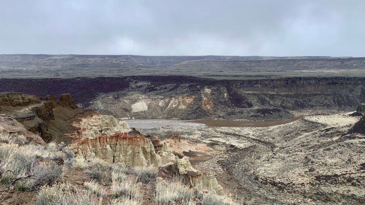
Pruitt's Castle
Rapids
Dog Leg was really straight forward. If you want to make the typical right line you really had to be on the right early. Other wise you could go where ever. Lots of big waves.
Whistling Bird was also very straight forward. The left line was fairly simple as all of the rocks were covered. Lots of water still pushing up against the rock that forms the cave. Also really big holes on the right at the run out.
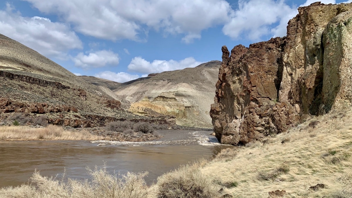
Whistling Bird at high water
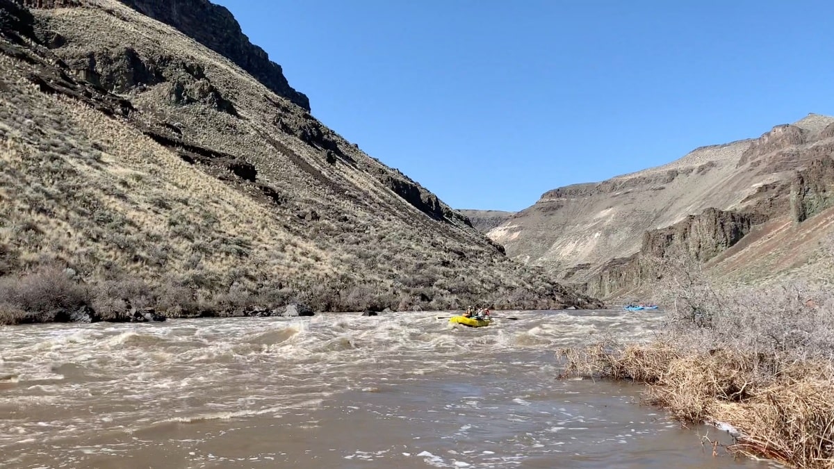
Squeeze and the rest of the rapids at the beginning of the canyon were straightforward but really powerful. Lots of big power waves.
There is a really small eddy above Montgomery on the left. If you plan to scout you have to be really ready to catch it as the current really moves fast right there. The line is about the same. Start left and finish right. There is a big hole center right right at the top. The bottom also has a pretty big hole on the left.
Camps
Canyon camp on the right could be a good option as it is a higher bench. Cliffside on the left was pretty small but could be an option. Camping in the canyon when the flows were changing kept us moving to find something less boxed in.
Mile 35 - 51
The scenery and rapids don't end once you leave the canyon. If your crew is in need of water think about filling up at Rinehart Falls.
Rapids
One of the most noteworthy rapids on the Owyhee is Nuisance. At these high flows it was completely washed out and hardly recognizable. Same goes for Morcum Dam. Lower flows put you down the left but with lots of water right down the middle is the way to go.
Nuisance Rapid
Camps
Exit camp was still in and looked fine. Other options downstream looked a bit washed out. Jackson Hole camp is a great option and could easily work for two groups. Bobcat and Devils tower looked like solid options. The Hot Springs at Greeley is for sure underwater but the Upper and Lower camp are still good options for camp. Pothole is also still a good option.
Birch Creek to Leslie Gulch
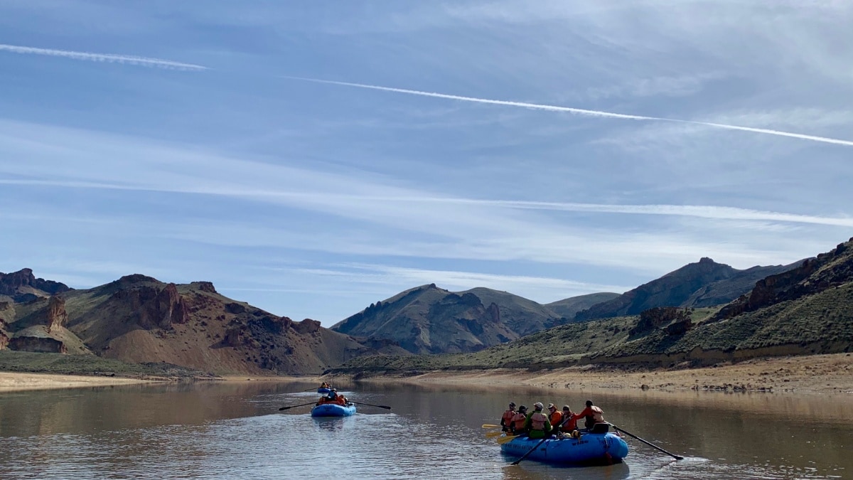
Paddling Across the Reservoir
Some people carry a small motor and motor across the beginnings of the reservoir. You can also push down as there is often some current going down stream in the spring. You can check the level to help determine if there is any current going into the reservoir. As the level gets to the Leslie Gulch boat ramp, current starts to slow down. Black Rock camp is about the only camp down there. There are options on the upstream side as well as around the corner. The hot springs are awesome!

