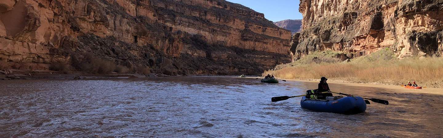
This southeast Utah river provides boaters with spectacular and unique desert vistas, wildlife, and archeological sites. The rapids are class II at most water levels, and at higher water can become class III. The San Juan is a great river for beginners to practice their paddling and rowing skills.
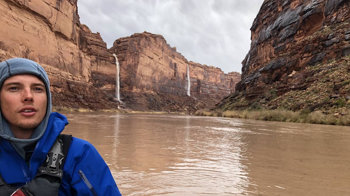
Waterfalls pour into the San Juan after a spring storm. Photo courtesy of Conor Bell.
While rafts and duckies are the most popular choice of craft for the San Juan, many people elect to take canoes. Miles of flatwater between rapids and fun, relatively simple riffles make this a great intermediate canoe trip at friendly water levels. Be prepared to scout and portage around some of the bigger Class III's with canoes!
Trip Highlights
Mile 0: San Juan Boat Ramp in Mexican Hat.
Miles 6-15: The Goosenecks State Park. Here, the river cuts a path 1000' deep through dramatic red rock. It meanders back and forth, taking 9 miles of river to cover only 3 as the crow flies.
Mile 17.6: Honaker Trail. A trail constructed by prospecters in the early 1900's comes down from the rim. There are some good camping options at the base of the trail, allowing you to spend the day hiking out of the canyon. You can access the overlook of the Goosenecks from here.
Mile 25.7: Ross Rapids (Class II+). The river curves right around a sandy bottom. Watch out of the big pile of rocks at the bottom!
Mile 32.1: John's Canyon comes in from river right. A large sandy campsite below the riffle provides hiking access to the canyon. There are some Native American archaeological sites up this canyon.
Mile 36.8: Government Rapids (Class III). The most difficult on the section, this rapid is littered with boulders. The clean line through them depends on the water level.
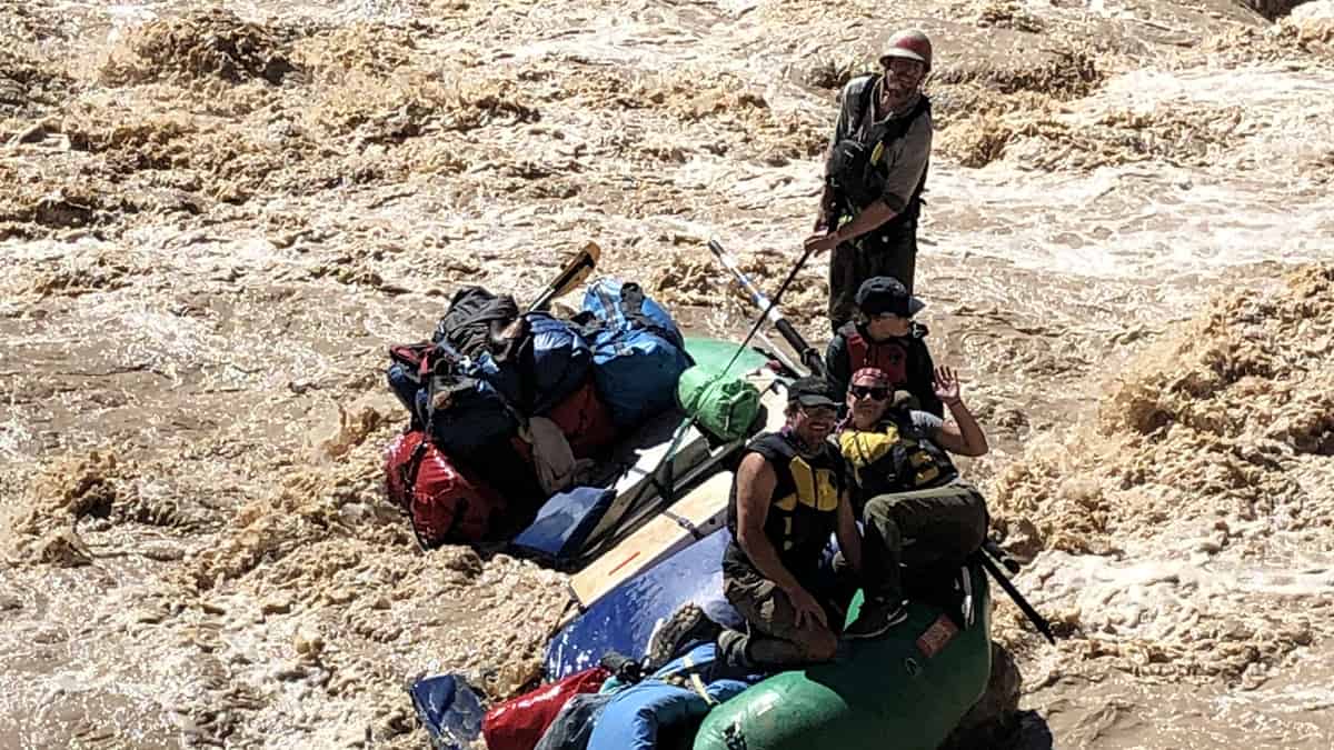
A boat pins on a rock in Government Rapids on a high water trip. Photo by Conor Bell .
Mile 43.4: The Grand Gulch joins the river from the right. A campsite below the mouth of the canyon access hiking trails rich in beauty and archaeological history. The Grand Gulch is a MUST STOP side hike.
The aftermath of a flash flood in the Grand Gulch on a rainy spring trip. Photo by Conor Bell .
Mile 57.2: The Clay Hill Boat Ramp and the end of your trip!

