The North Fork of the Nooksack is a Bellingham area staple that runs most of the year with easy access and a riverside trail. While the run is relatively short, it offers quality continuous boulder garden style rapids and is easy to lap.
Mile 0: New stairs and a boardwalk built by American Whitewater lead to a put-in along a braided channel. The first mile is mostly swift moving water interspersed with some small rapids that provide an opportunity to warm up.
Mile 1.4: Entrance (III+) signals the steeper section of the run where this river takes a hard left turn and drops through a read and run boulder garden with a number of possible lines. From here until the next noted rapid the river has a number of class IIIs.
Mile 1.7: S-Bend or Bender (IV) starts with a boulder garden that funnels down before dropping over a ledge and taking an abrupt turn to the right. The remainder of the rapid offer a number of fun slalom and slot moves around boulders in the center and right channels or a straight shot through offset waves and holes along the left bank.
Mile 1.9: Eddy out on river right below S-bend to scout the crux section of the run. Wood tends to collect in the final half mile and it is a step up from the rest of the run and eddies dissapear at high flows. The river trail is easily accessible from this eddy and permits viewing all the rapids from Bench drop to the end of SAT.
Kayakers run the left line at Bench Drop.
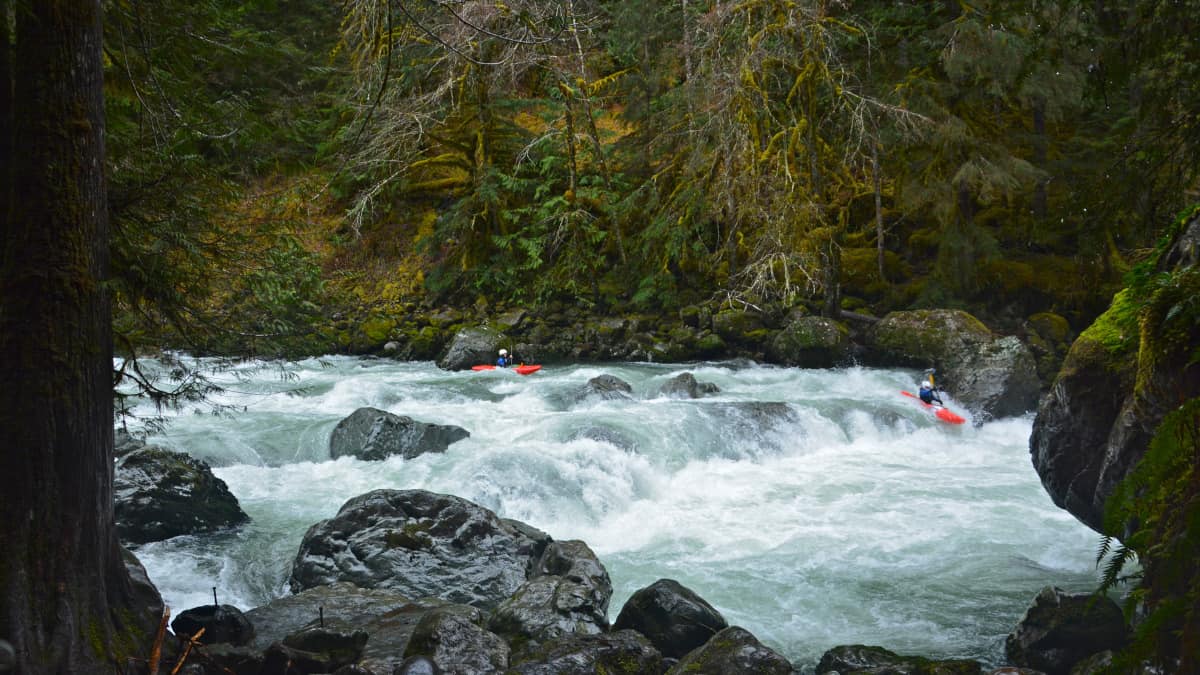
Bench Drop (IV+) is the largest ledge on the run and offers three primary options that change in difficulty and appeal based on the flow. The river right option starts with a few small ledge boofs before it makes a tight airplane turn through a final slot. The middle option offers a smear boof that is guarded by a tricky lead-in that pushes towards a sieve. The left offers the most direct line through some crashing waves before plunging over a sloping ledge into a flushy hole.
Two rapids follow Bench drop. The first has a right two left move threading some offset holes. The second, known as PSAT, has changed frequently but is often run on the left to avoid some sievy rocks in the center channel.
Mile 2.0: SAT (IV+/V-), is the longest and most complex rapid of the run. There are an infinite number of lines in this rapid as well as a couple of holes and sieves worth avoiding. This rapid frequently collects wood so scouting it on your first lap is advisable. At low flows there are some one boat eddies sprinkled throughout but as flows increase the rapids is a non-stop sequence of moves.
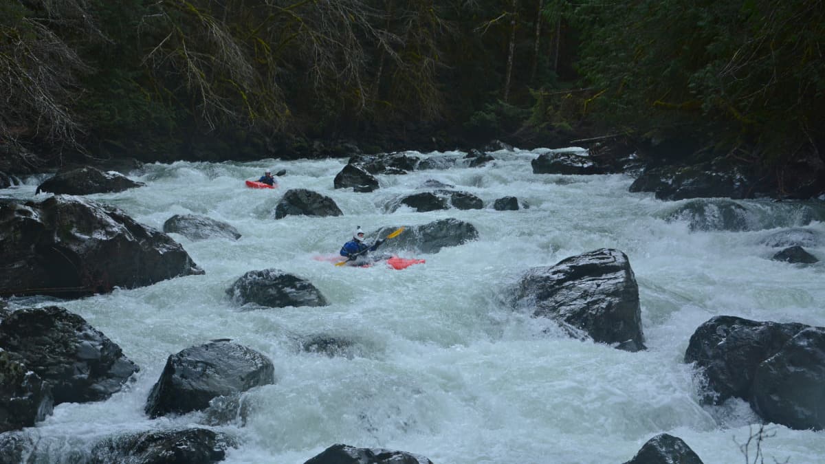
The top half of SAT is a complex boulder garden.
There are two final rapids. The first it is generally best to run left of the island where the water is deepest and the second offers a great mid-river boof before the takeout at the bridge. Head up for another lap or continue down to Glacier for the scenic class III Canyon Section.
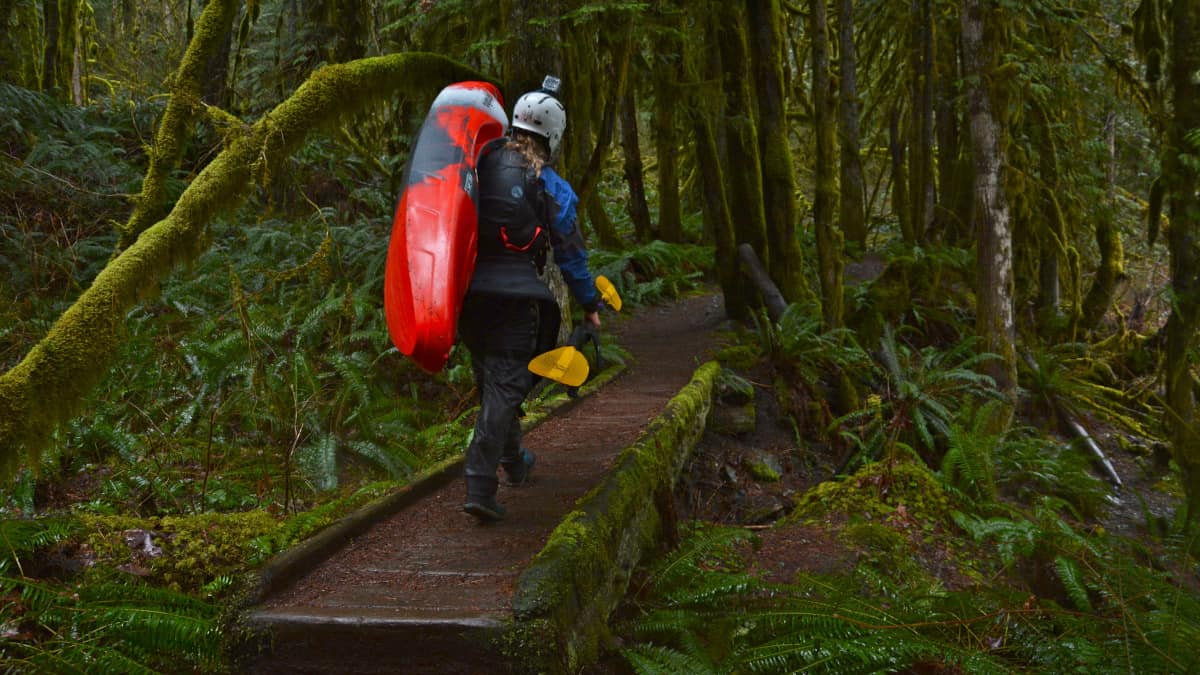
A great riverside trail makes hiking another lap easy!

