The Upper Upper section of the Sitkum River, located outside of the town of Forks, Washington, is the sort whitewater that paddlers would design if geologic process were up to them. Most boaters who have been lucky enough to get on this section leave wishing that the weather was up them too, as touchy flows make it difficult to catch with the right conditions. It turns out that the same geology that creates a series of clean ledges and slides also funnels water through the watershed in an extremely efficient manner, often leaving paddlers only a day or two after heavy rains to make their pilgrimage.
Upper Upper Sitkum
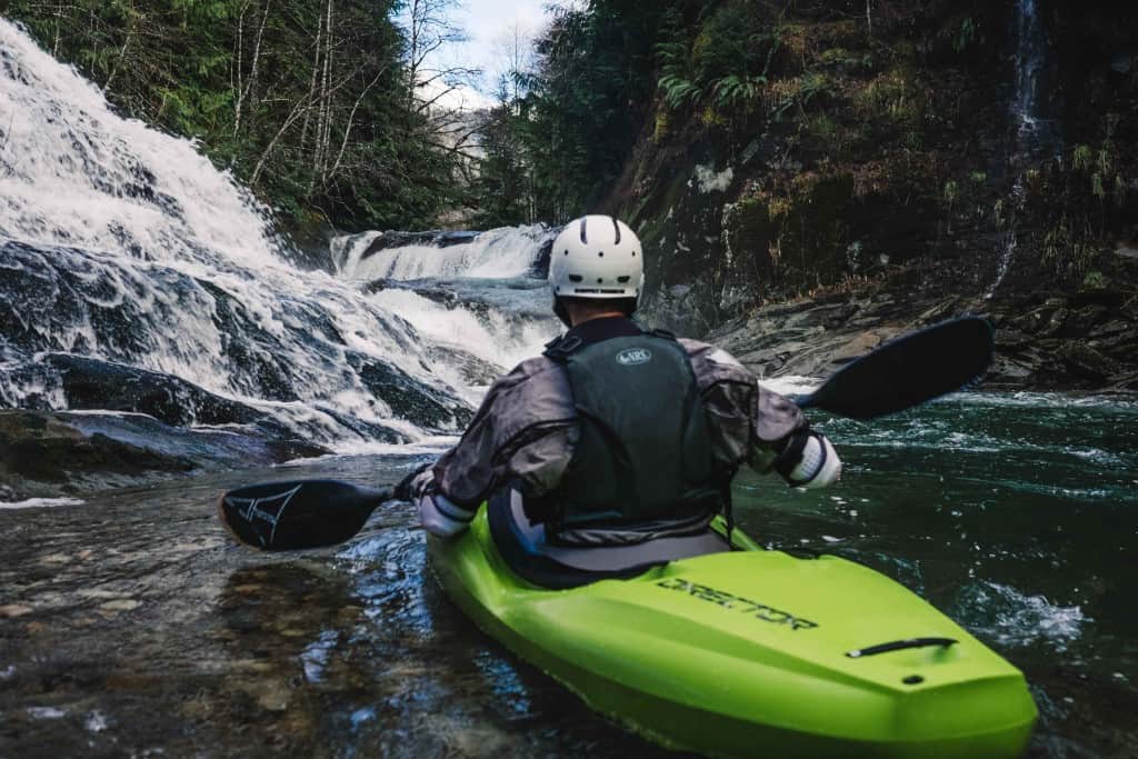
Upon finding the Upper Upper Sitkum River with adequate flows though, you will be greeted almost immediately after putting on by series of ledge waterfalls and slides. One of the things that makes this run so great, is that while being continuous, there is also just enough room to catch your breath and collect pieces if necessary in between rapids. Due to the tight nature of most of the drops, you will also want to take advantage of those breaks to carefully scout for wood before proceeding downstream.
Once you know the run, the length of this section makes it possible fit multiple runs into a single day. Alternatively, it is also possible to continue on into the more difficult Class V section below the take-out.
Trip Highlights
Mile 0: Put in at mile 20 off of FR 29. Look for faint spray paint on a tree and flagging that leads down toward the river.
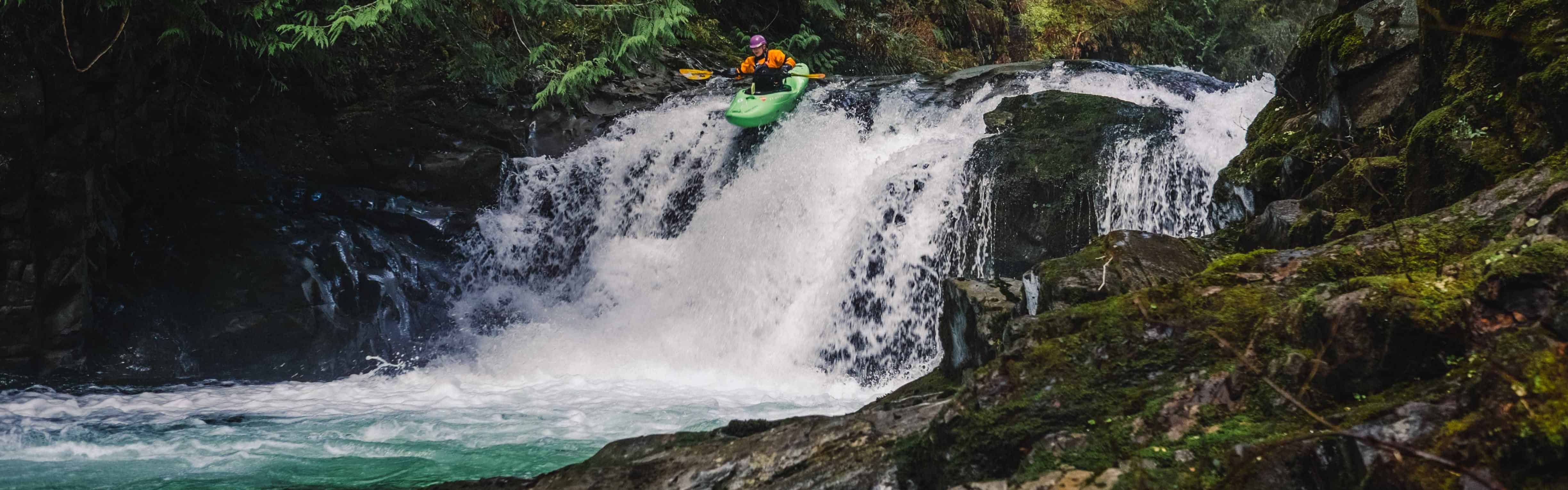
A paddler looks upstream at the Upper Upper Sitkum's first rapid. Photo by Nate Wilson Photography
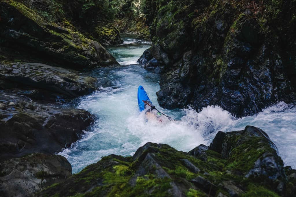
Mile 0.6: This two part drop signals the action is about to pick up. Regroup in the eddy below and enjoy the waterfall on river right.
Mile 0.7: Maneuver around a boulder at the end of this slide.
Mile 0.8: Run the steep slide on the right, or portage at low water.
A paddler punching through 50/50. Photo by Nate Wilson Photography
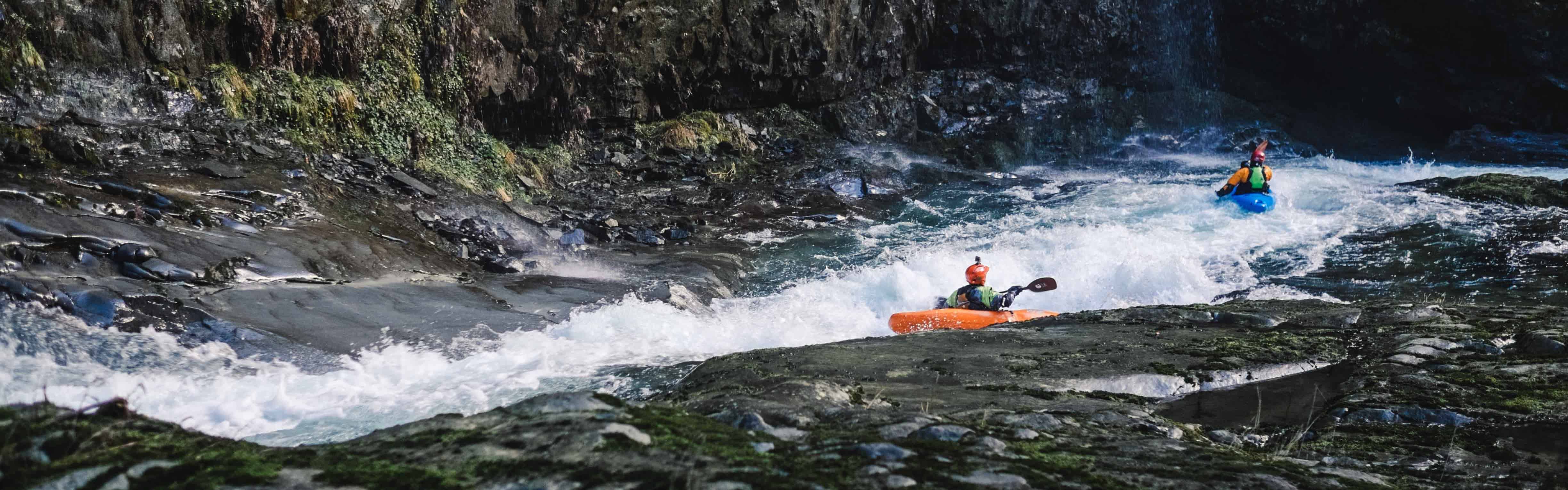
Mile 0.9: Locals call this mini-gorge 50/50 because of the likelihood of flipping in its tight turn.
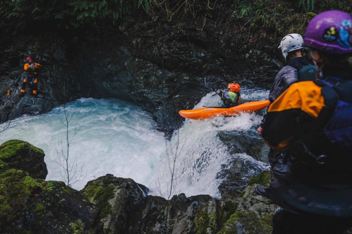
Mile 1.1: Paddlers will want to be on their toes in the landing of this ledge drop as a boil in the landing pushes into a shallow cave on the right. Below here, the rapids settle down a grade in difficulty for a while.

Setting safety at the shallow cave. Photo by Nate Wilson Photography
Mile 1.6: Ricochet through this sliding drop and watch out for the sticky hole at the bottom.
Mile 2.4: This is the common takeout. Either take out above this log boof rapid, or run it and rope your boat up from the pool below. It is also possible to go further and take out at the confluence of Brandenberry Creek if the following rapid is free of wood.
Mile 2.5: Brandenberry Creek Confluence. There is a good pullout for either takeout just upstream of this confluence (FR 29 mile 17.6).

