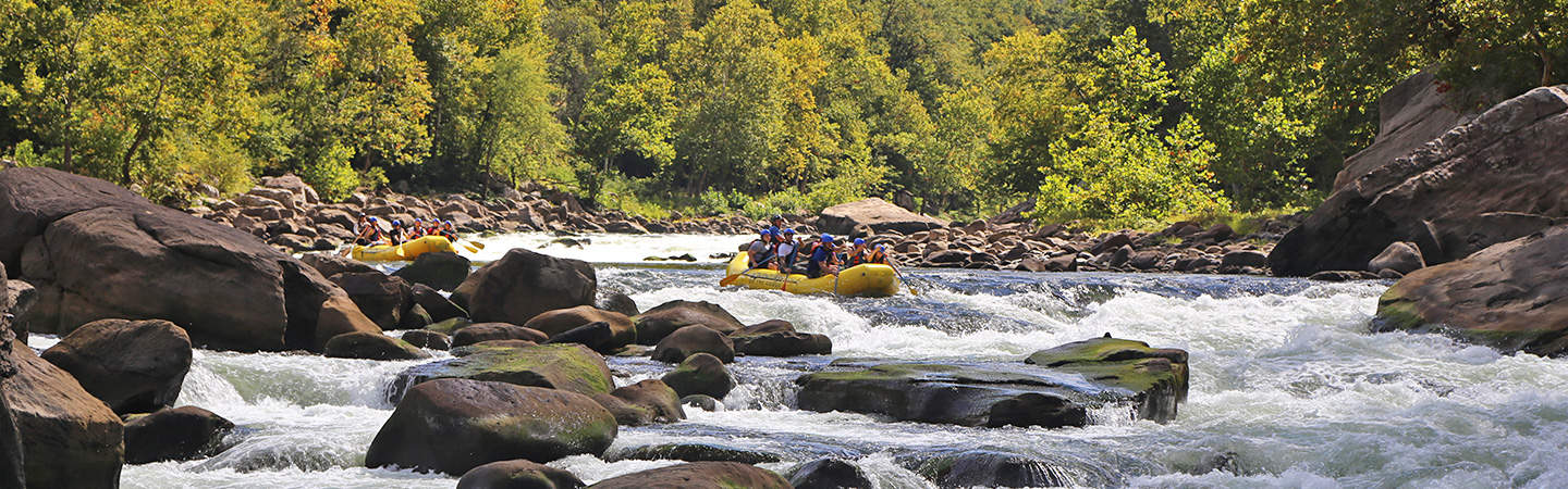
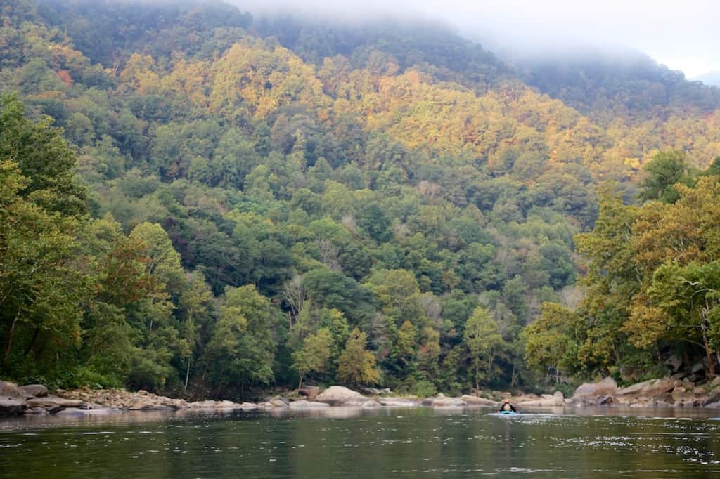
The Lower New River cuts through the Appalachian Plateau in West Virginia and meets the Gauley River to form the Kanawha River. The 1000' deep gorge with sandstone cliffs is a National River and managed by the National Park Service with tons of opportunities nearby for rock climbing, hiking, and of course paddling.
This section of river is fairly remote, but used to have a huge coal mining industry around it. There are railroad tracks on both sides and there used to be 15 coal mining towns in the early 20th century. The river's ecology has sprung back to life and the once-deforested New River Gorge is now an abundant ecosystem.
Trip Highlights
Mile 0: Put-in at Cunard
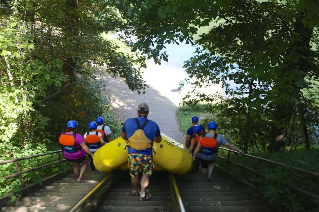
Raft Put-in at Cunard on the New River
Mile 0.4: Upper Railroad (III) has a big hole at high water.
Mile 0.9: Lower Railroad (III). At lower water there is a dangerous clam shell rock in the main channel.
Mile 1.8: Strippers (II) which at 3 feet has a huge hole.
Mile 2: Ender Waves (II) at high water this rapid creates a huge wave that can flip 16' rafts.
Mile 2.7: Upper Keeney (III) is the first of 3 rapids. At higher water this rapid and the next two form one long, continuous rapid.
Mile 2.8: Middle Keeney (IV) is huge at high water. If you swim here catch an eddy so you don't swim the Meat Grinder in Lower Keeney.
Mile 2.9: Lower Keeney (IV) At the top of this on the right side is the Meat Grinder which has undercut rocks and is sieved out. These were blasted out to create the railroad and are very dangerous.
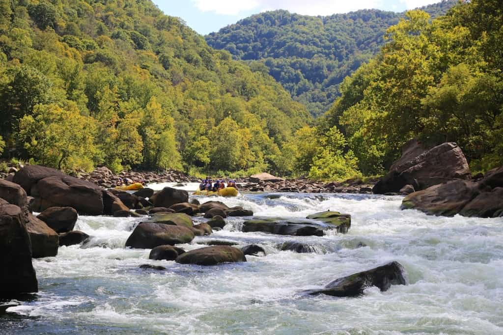
Lower Keeney Rapid on the Lower New River
Mile 4: Double Z (IV) has a lot of undercut rocks in it.
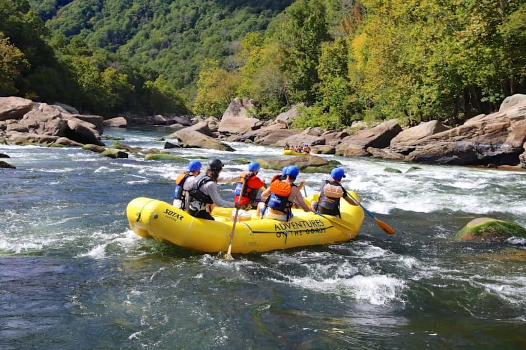
Double Z Rapid on the New River
Mile 4.5: Harmon's Ledges (III) is also known as Hook 99 and has multiple channels. Blind Alley is the far right move.
Mile 4.6: Greyhound (III) is named after the river wide hole that forms at high water which is as big as a Greyhound Bus.
Mile 5.1: Upper Kaymoor (II) is an easy rapid. One of the last coal mining towns in the gorge existed here until the 1950s. You can see remnants of the Kaymoor Company Store above this rapid on river left.
Mile 5.2: Lower Kaymoor (III) There is a nasty recirculating hole on river right called Teacher's Pet at high water.
Mornging Light on the Lower New River
Mile 5.6: Miller's Folly (IV) at 2 feet on the bottom, river left is a raft surf spot called Bloody Nose.
Mile 6.7: Fayette Station (III) is a fun wave train and take-out is just below on river left. The famous New River Gorge Bridge is high above the river just downstream. It's the highest single arch bridge in the Western Hemsiphere.
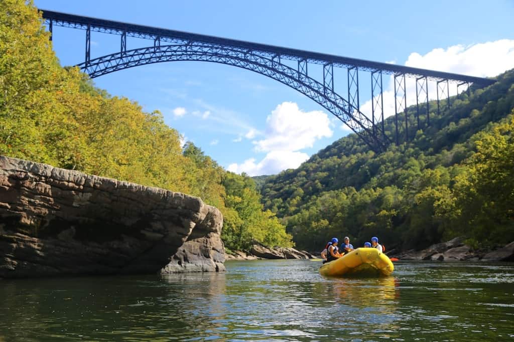
The New River Gorge Bridge
Mile 6.8: Take-out on river left at Fayette Station.

